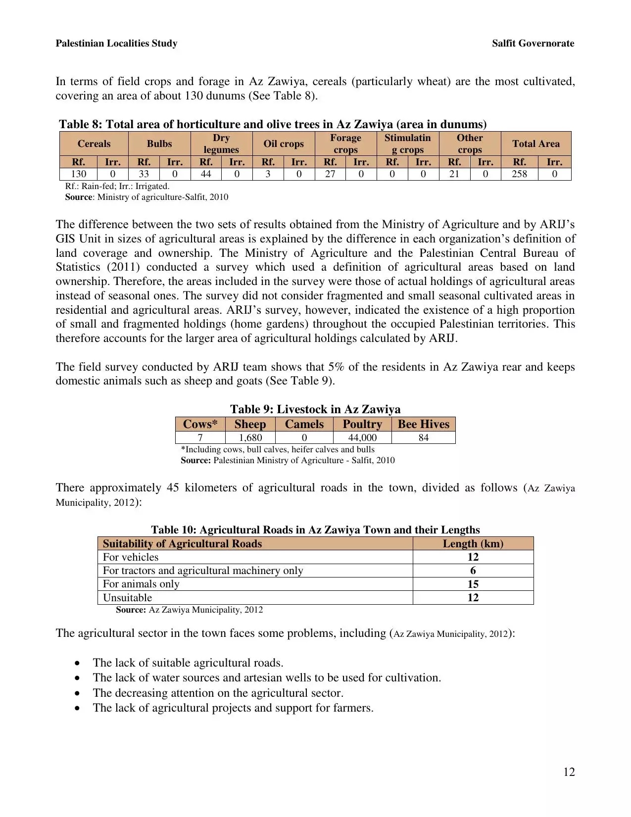
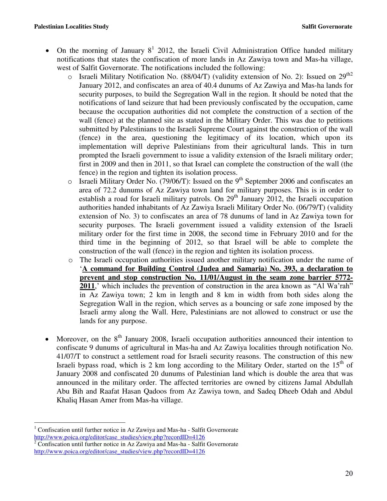
| PalestineRemembered | About Us | Oral History | العربية | |
| Pictures | Zionist FAQs | Haavara | Maps | |
| Search |
| Camps |
| Districts |
| Acre |
| Baysan |
| Beersheba |
| Bethlehem |
| Gaza |
| Haifa |
| Hebron |
| Jaffa |
| Jericho |
| Jerusalem |
| Jinin |
| Nablus |
| Nazareth |
| Ramallah |
| al-Ramla |
| Safad |
| Tiberias |
| Tulkarm |
| Donate |
| Contact |
| Profile |
| Videos |
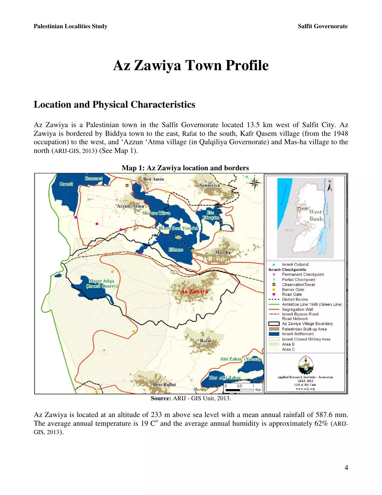
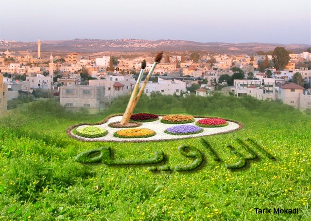
Welcome To al-Zawiya - الزاويه (זאוויה)
|
District of Nablus
Occupied days ago |
العربية Google Earth |
 |
Gallery (123) |
- Statistics & Facts
-
Before & After

- Satellite View
- Articles
- Pictures 123
- Mayrters & Prisoners 7
- Members 16
- Families
- Wikipedia
- ARIJ Guide
- Videos 1
- Guest Book 4
- Links 2
| Statistic & Fact | Value | ||||||||||||||||||||
| Distance From District | 36 km southwest of Nablus | ||||||||||||||||||||
| Elevation | 248 meters | ||||||||||||||||||||
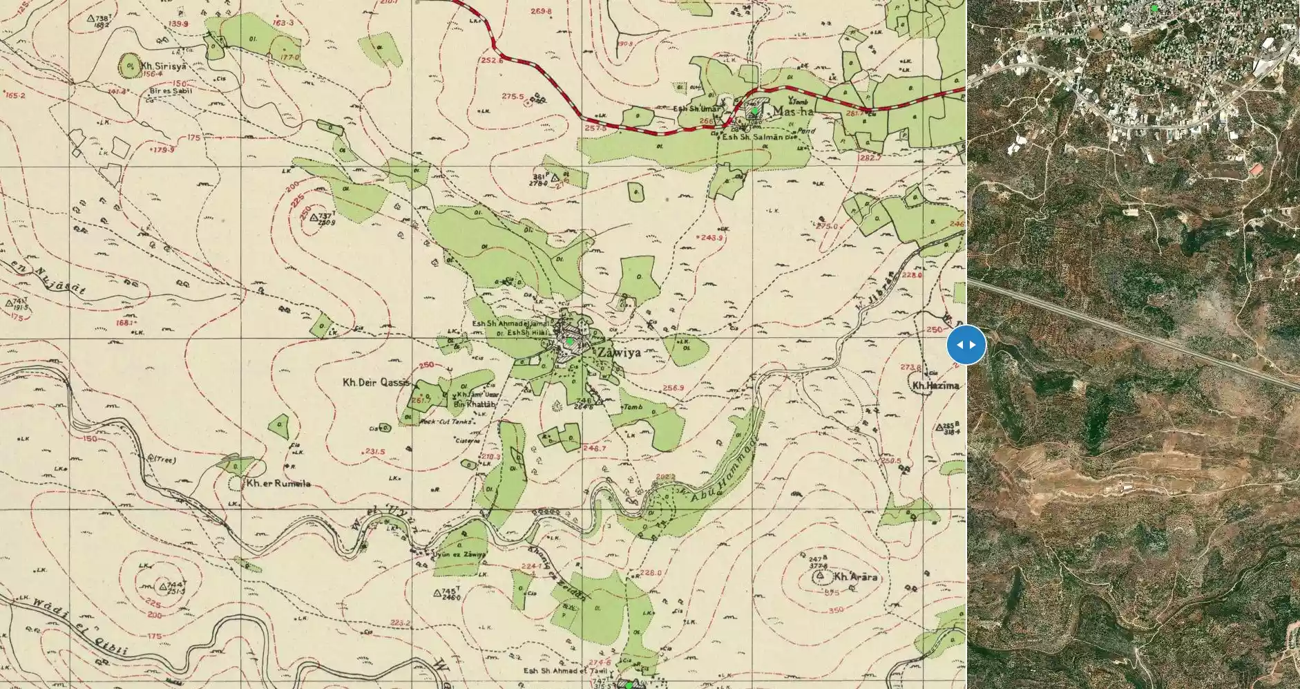
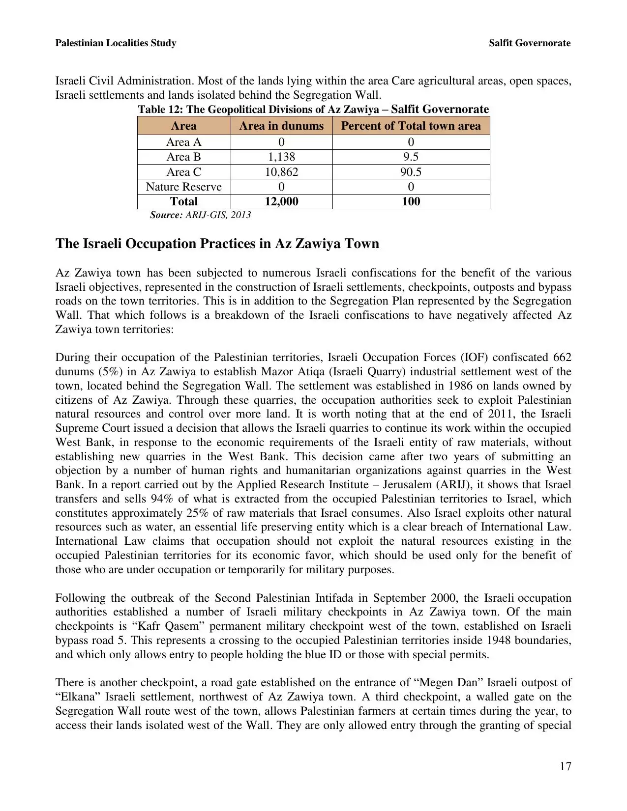
| Before & After Nakba, Click Map For Details |
|||||||||||||||||||||
|
|||||||||||||||||||||
| Land Ownership |
**Town Lands' Demarcation Maps |
||||||||||||||||||||
| Land Usage As of 1945 |
|
||||||||||||||||||||
| Population |
|
||||||||||||||||||||
| Near By Towns |
|||||||||||||||||||||
|
|||||||||||||||||||||
| Featured Video | |||||||||||||||||||||
| ARIJ Guide | |||||||||||||||||||||
3.
4. 
5. 
6. 
7. 
8. 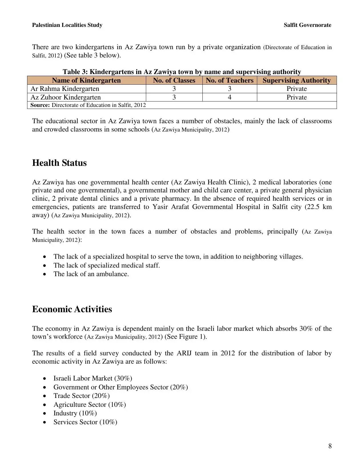
9. 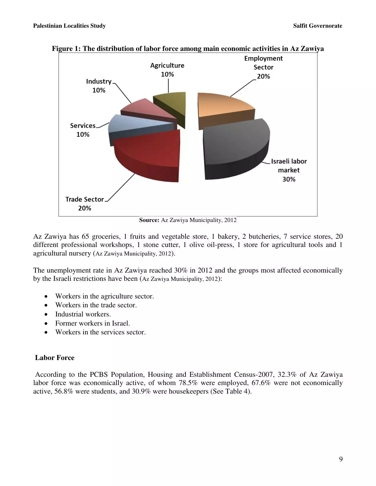
10. 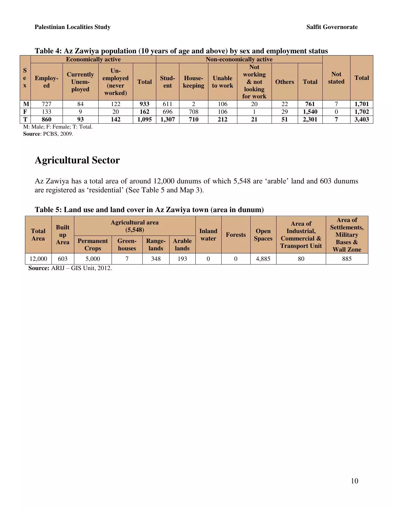
11. 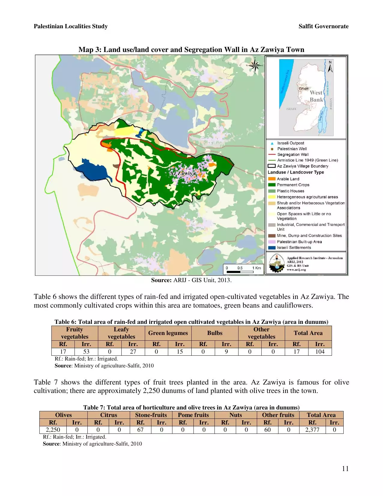
12. 
13. 
14. 
15. 
16. 
17. 
18. 
19. 
20. 
21. 
22. 
23. 
24. 
Click here to browse online. |
|||||||||||||||||||||
| Related Maps | Town Lands' Demarcation Maps خرائط للقضاء توضح حدود القرى والاودية View from satellite Town's map on MapQuest Help us map this town at WikiMapia |
||||||||||||||||||||
| Related Links | Wikipedia's Page ARIJ Guide Google Search Google For Images Google For Videos في كتاب بلادنا فلسطين دليل أريج |
||||||||||||||||||||
No articles have been added yet, please be free to be the first to add one.
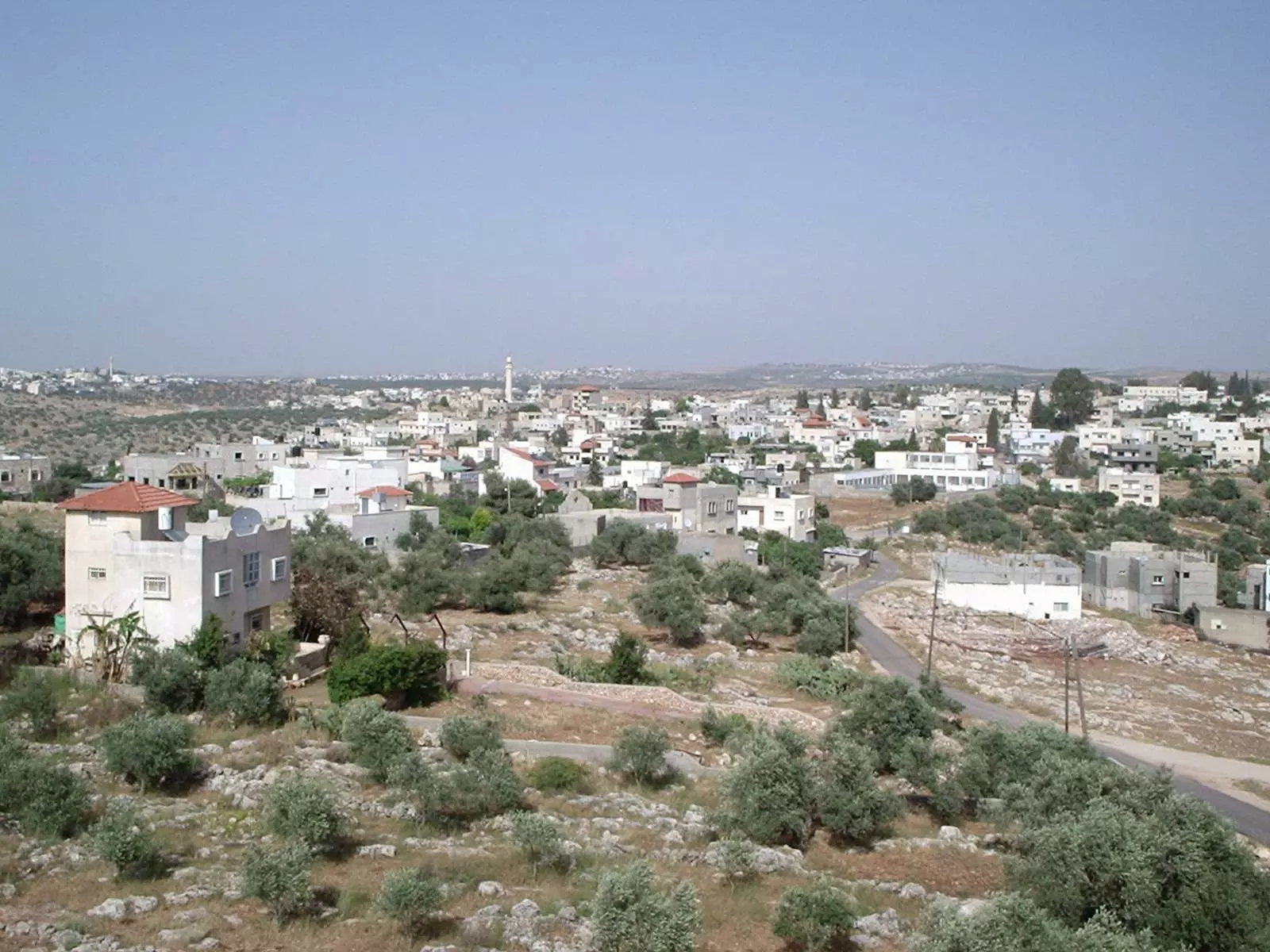
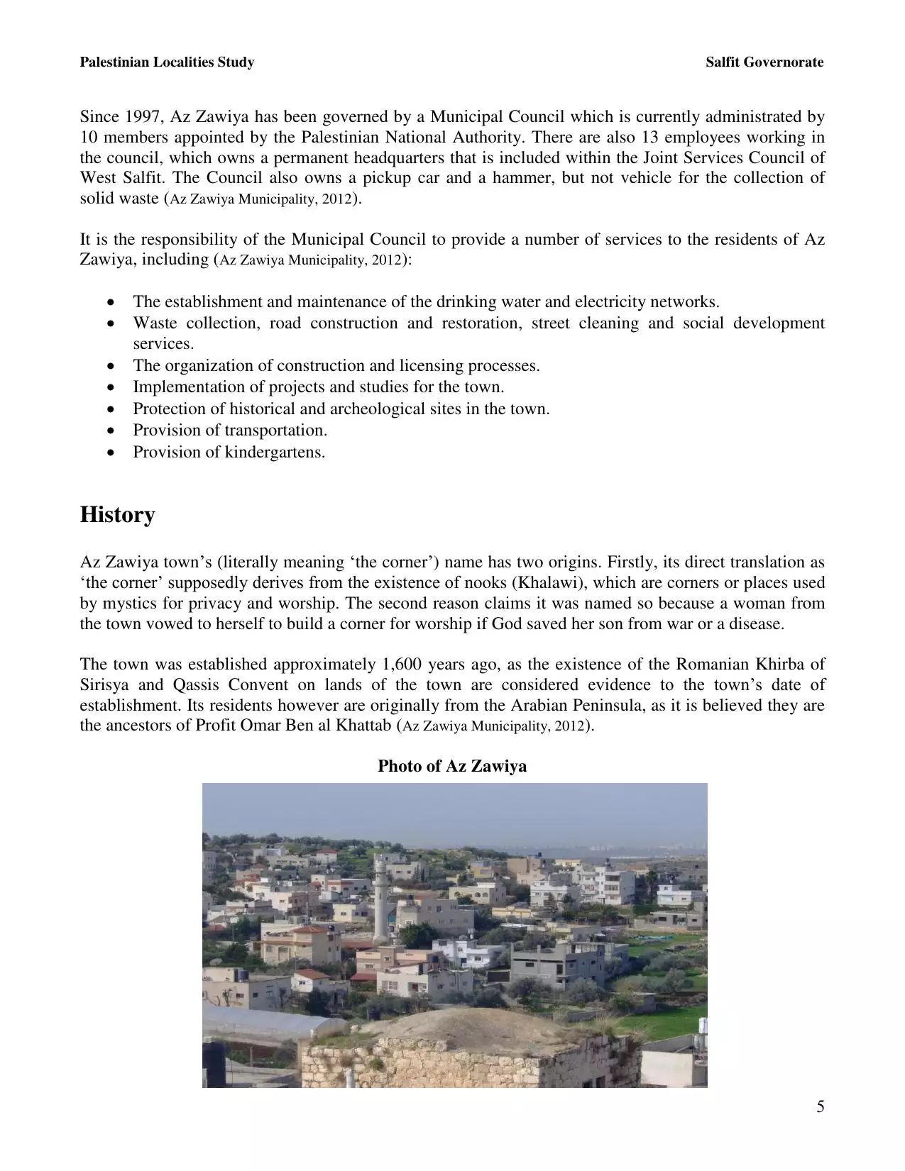
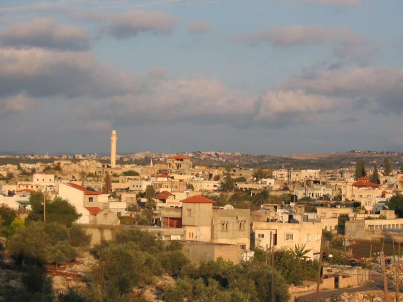
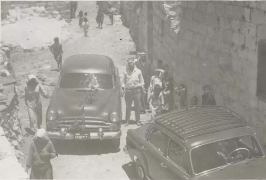
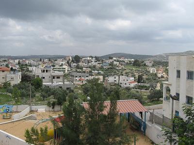
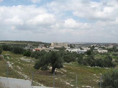
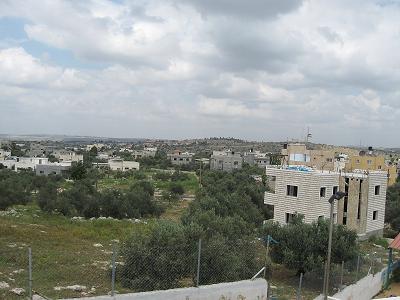
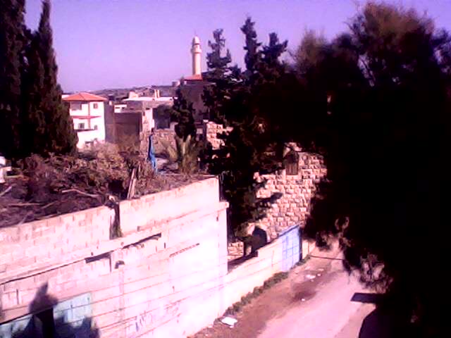
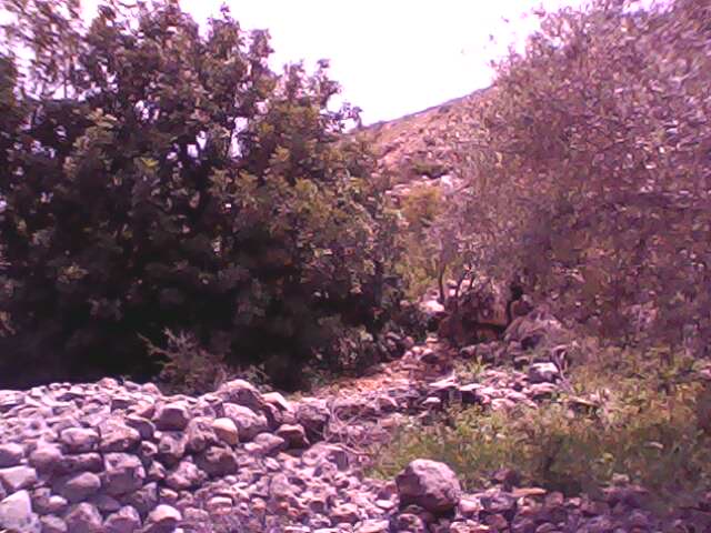
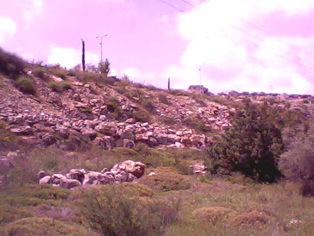
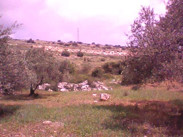
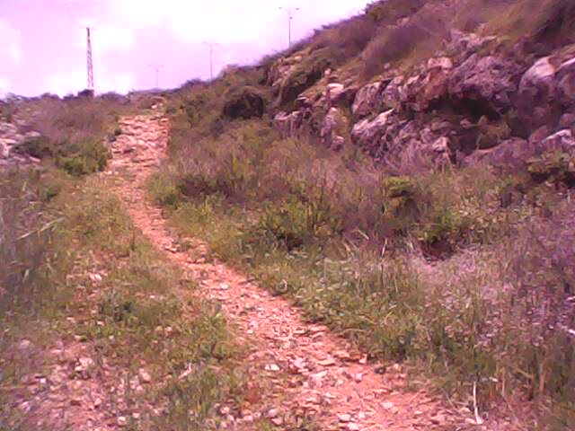
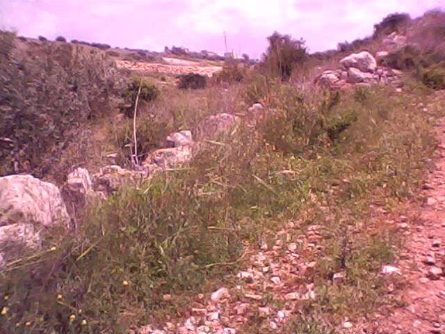
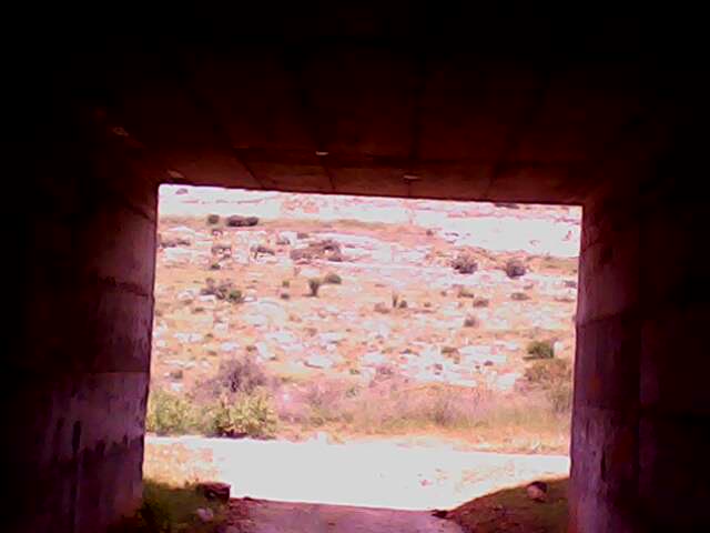
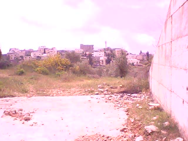
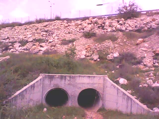
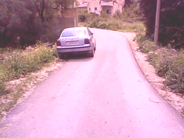
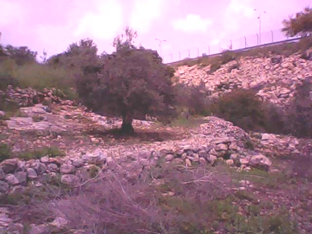
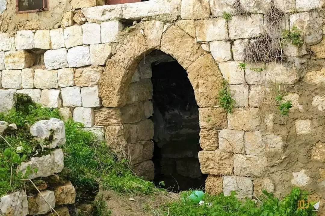
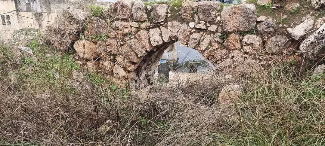
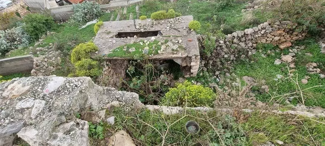
- منظر عام
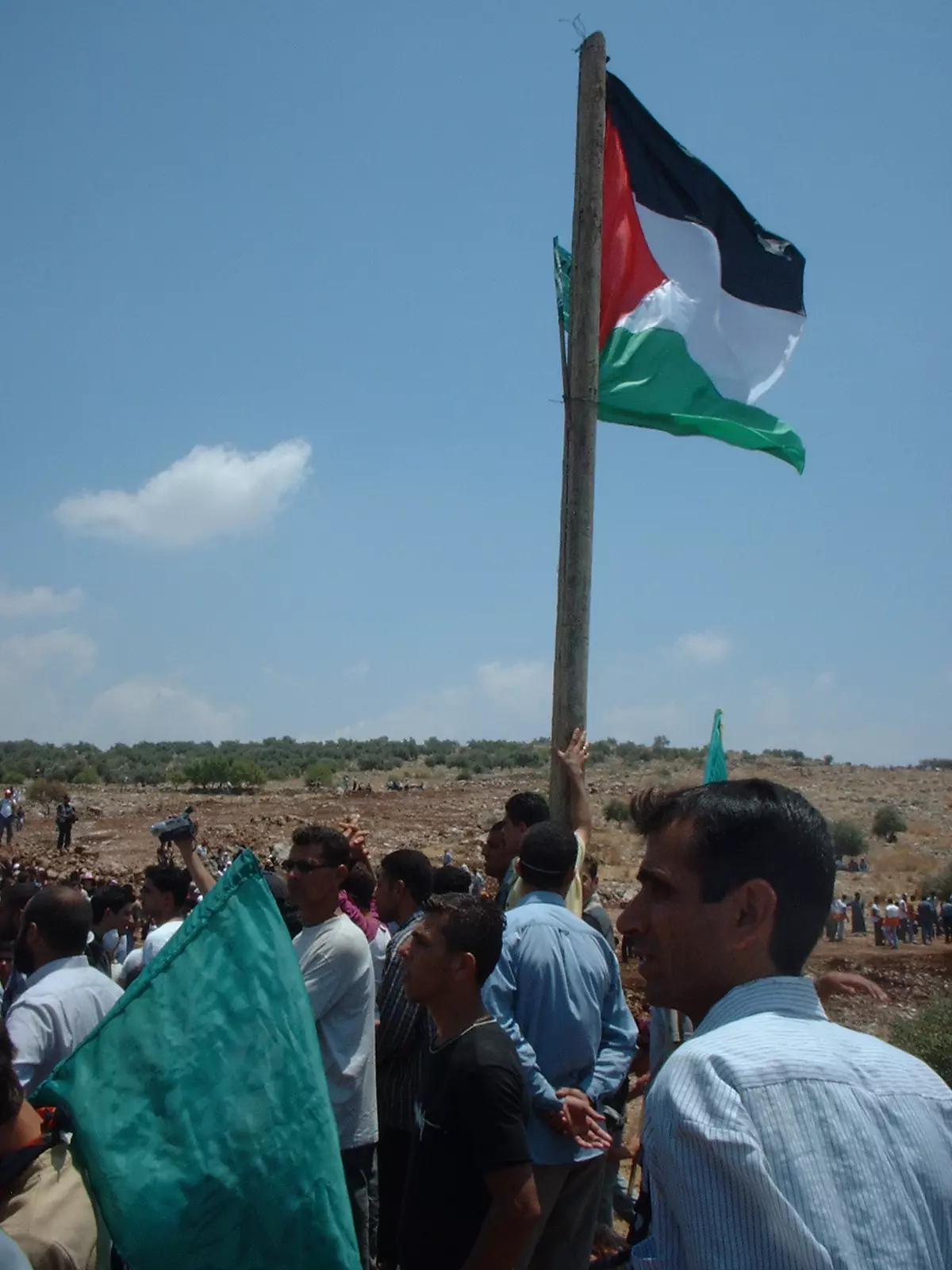
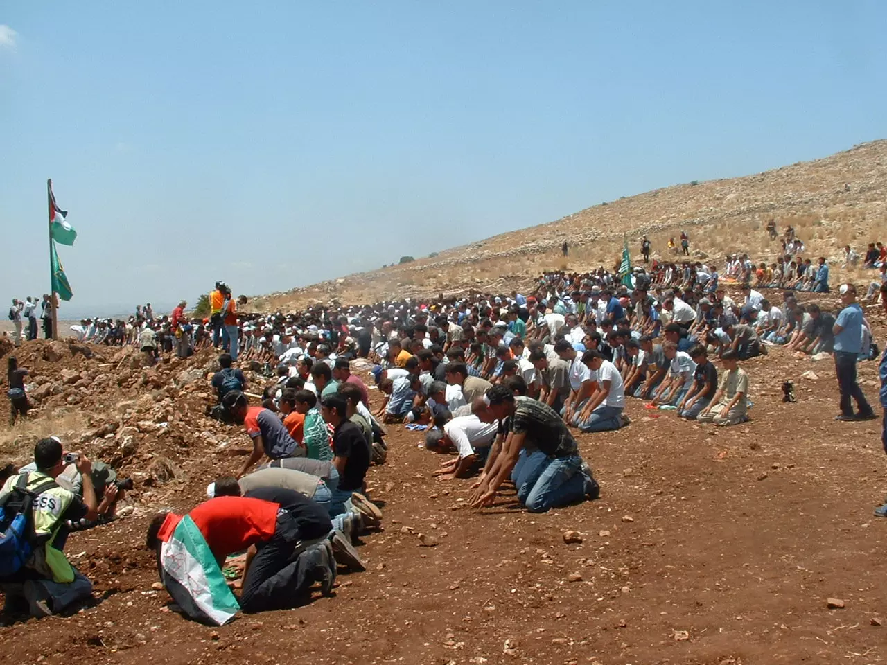
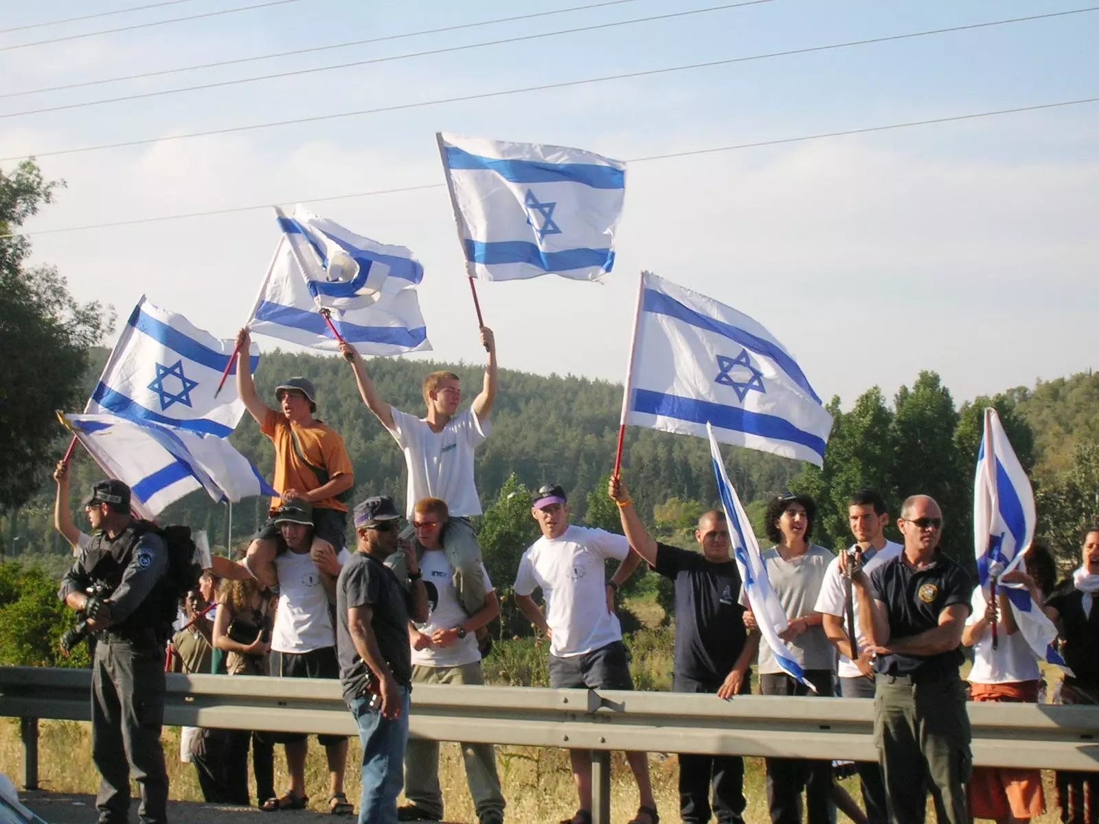
Posted by AnOs 6 - During a demonstration against the Apartheid Wall
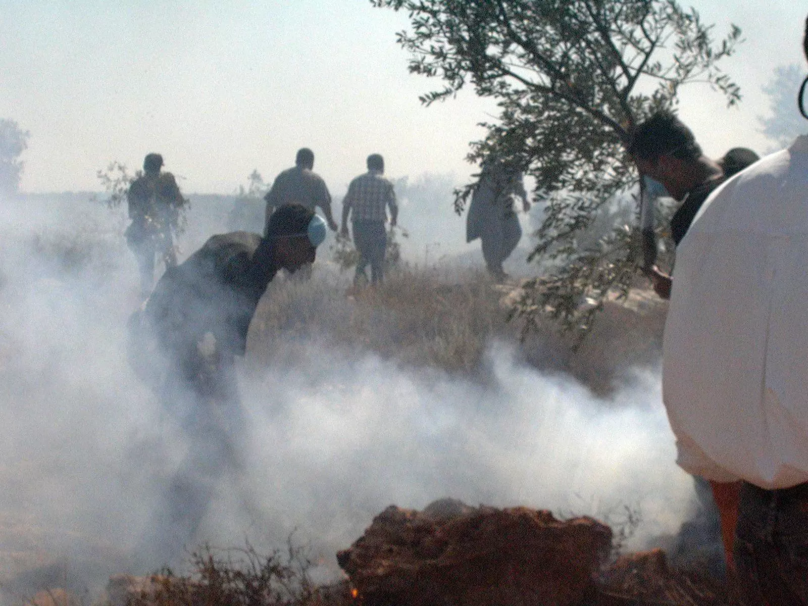
Posted by N. Q. - During a demonstration against the Apartheid Wall
Posted by N. Q. - During a demonstration against the Apartheid Wall
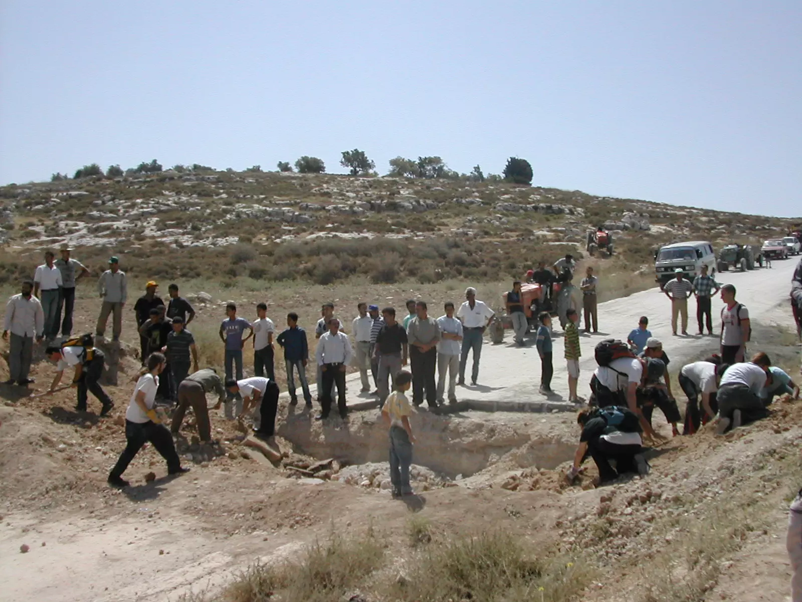
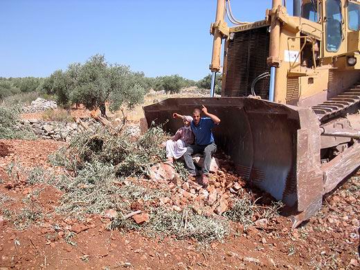
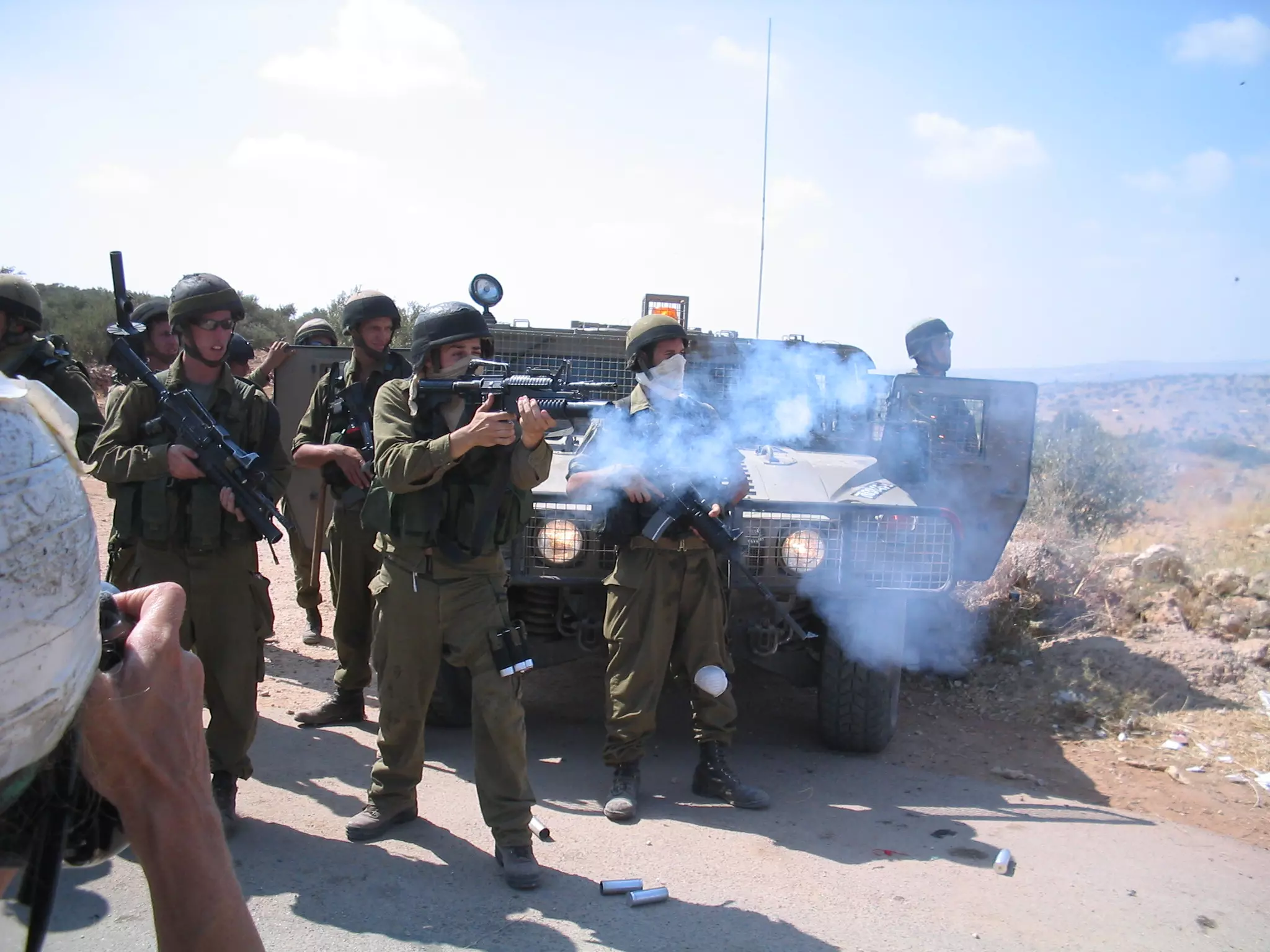
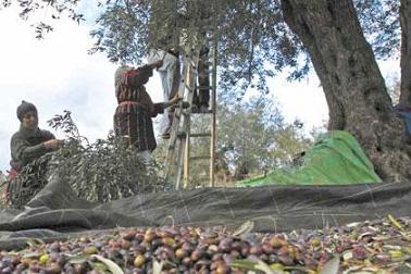
Posted by N. Q. 1 - The Democratic Israeli bulldozer cleanses the land from its people and from its olive trees. This is the only way Israel can maintain its so called Jewish democracy.
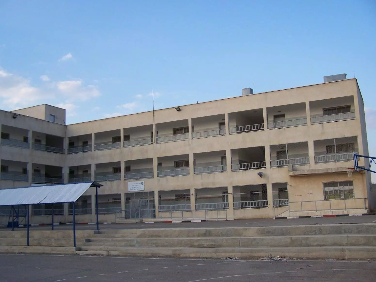
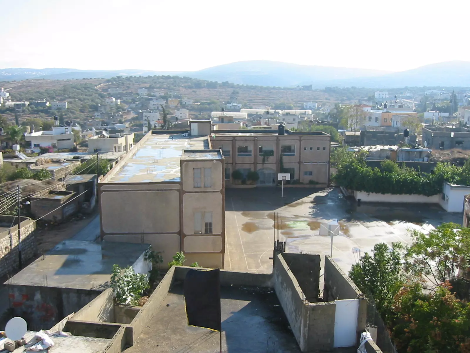
Posted by N. Q. 1 - المدرسة الثانوية للذكور
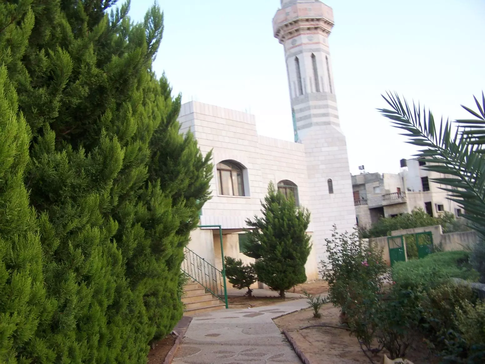
Posted by AnOs 1 - مسجد الصديق
Posted by AnOs 1 - مواجهة الجدار
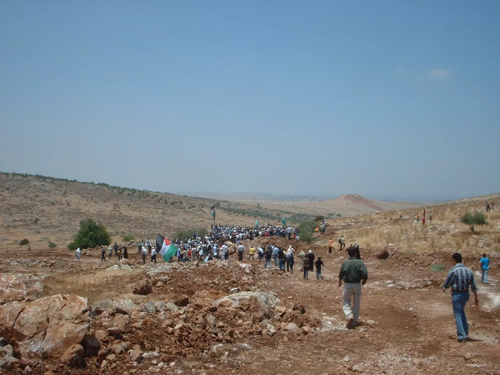
Posted by AnOs 1 - مواجهة الجدار
Posted by AnOs 2 - مواجهة الجدار 3
Posted by AnOs 2 - مواجهة الجدار 4
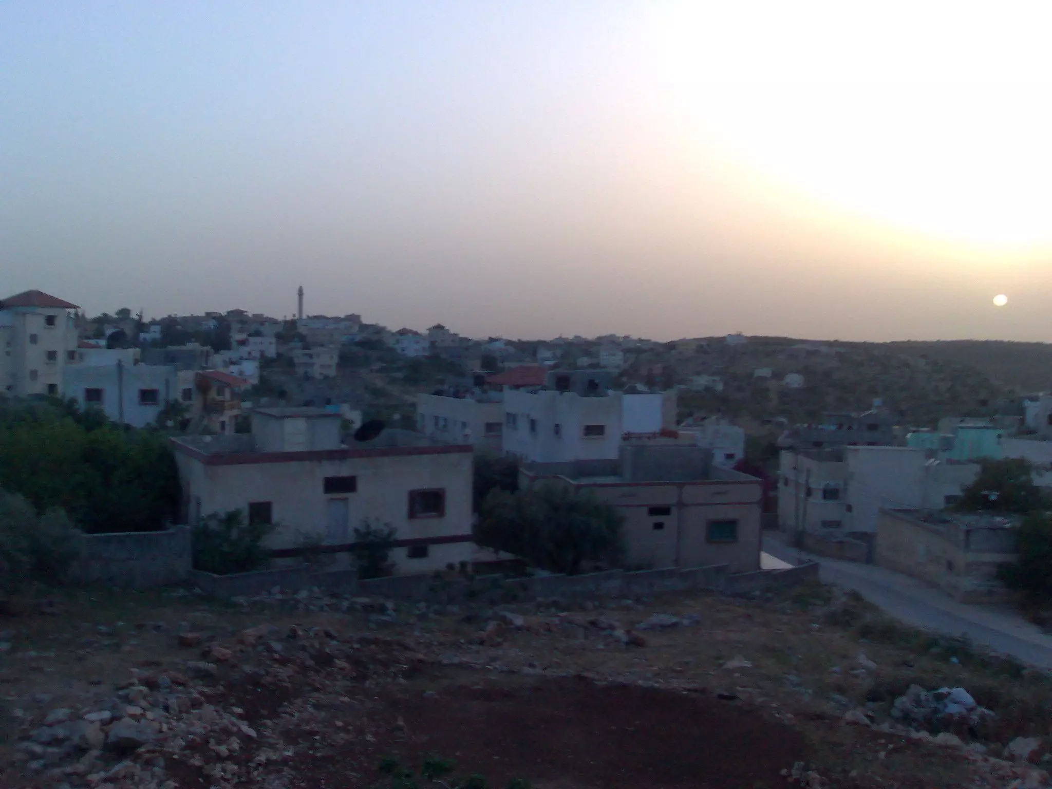
Posted by AnOs 1 - وقت الغسق
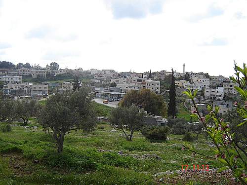
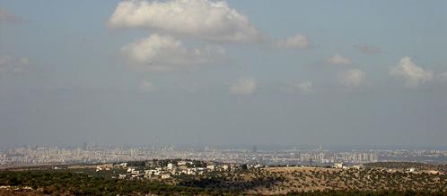
Posted by Ghanem Mustafa 1 - منظر من الشمال
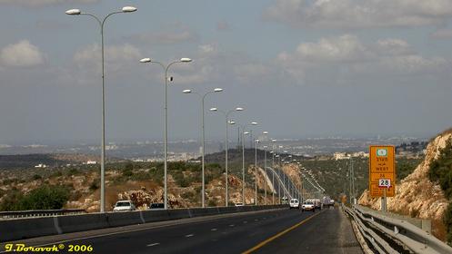
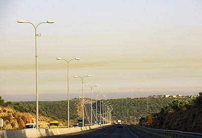
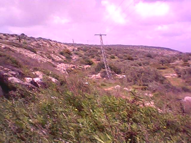
Posted by Ghanem Mustafa - الطريق السريع شمالي الزاوية
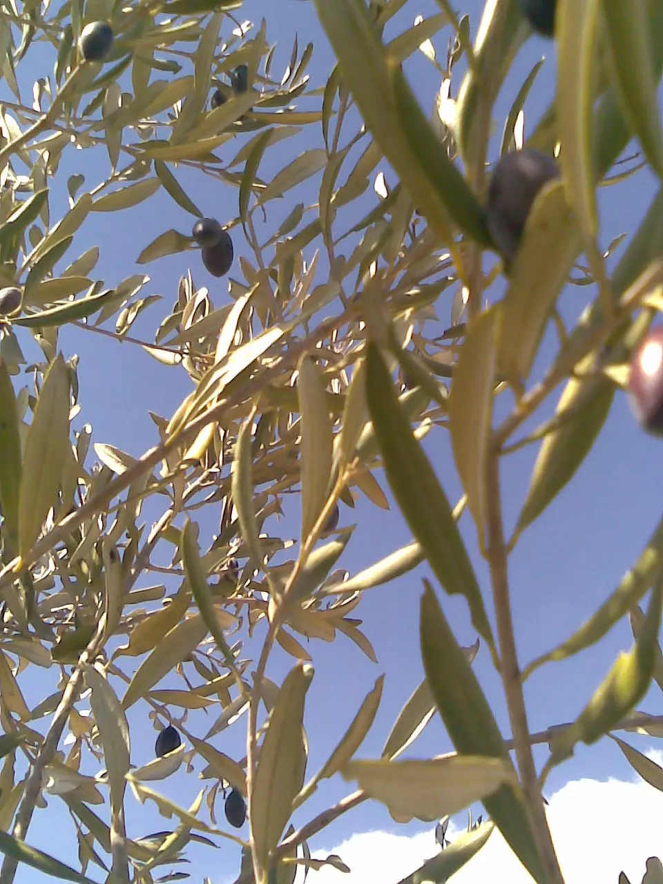
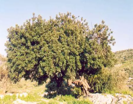
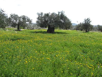
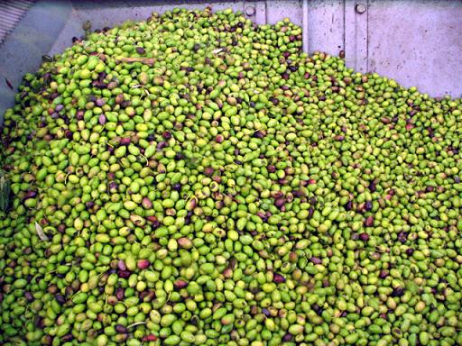
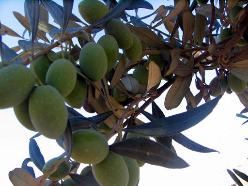
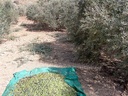
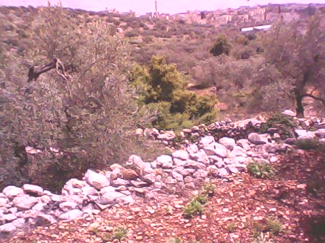
Posted by Ghanem Mustafa - زيتون الزاوية
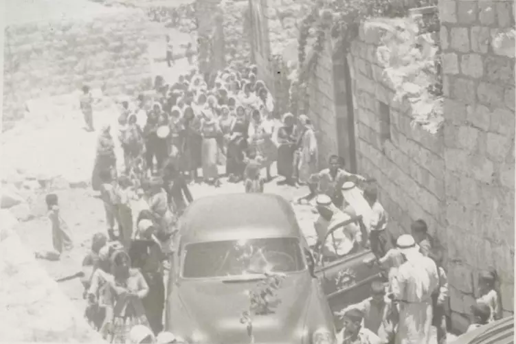
Posted by احمد 2 - عرس قبل 50 عام في الزاوية
Posted by احمد - العرس لاحد ابناء ابو نبعة واخذت الصورة عن موقع البلدية
Posted by احمد - نفس العرس
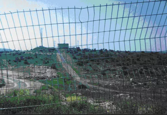
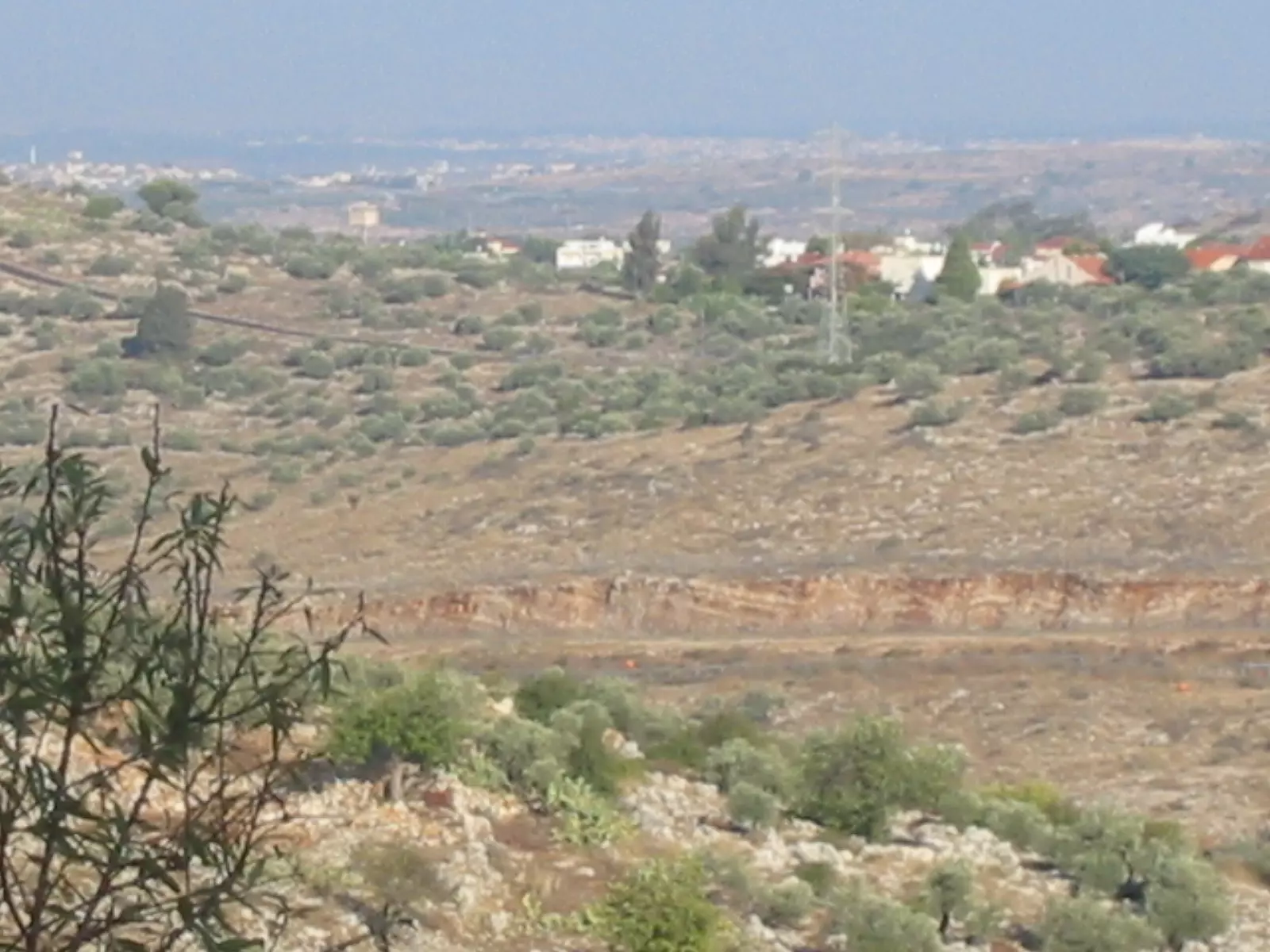
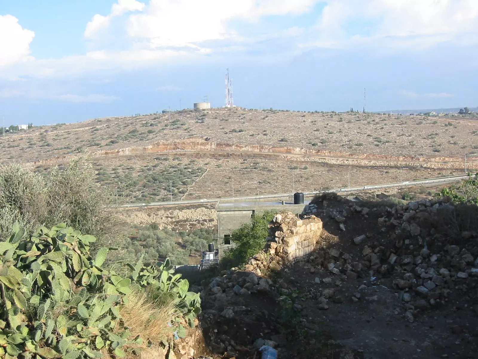
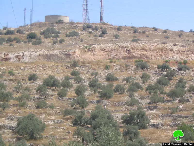
Posted by احمد - حاوز الماء الاسرائيلي المقام على ارض الزاوية قرنة الشيخ عيسى ويظهر وهو خلف الاسلاك الشائكة ويظهر في الصورة طريق جيش الاحتلال الاسرائيلي
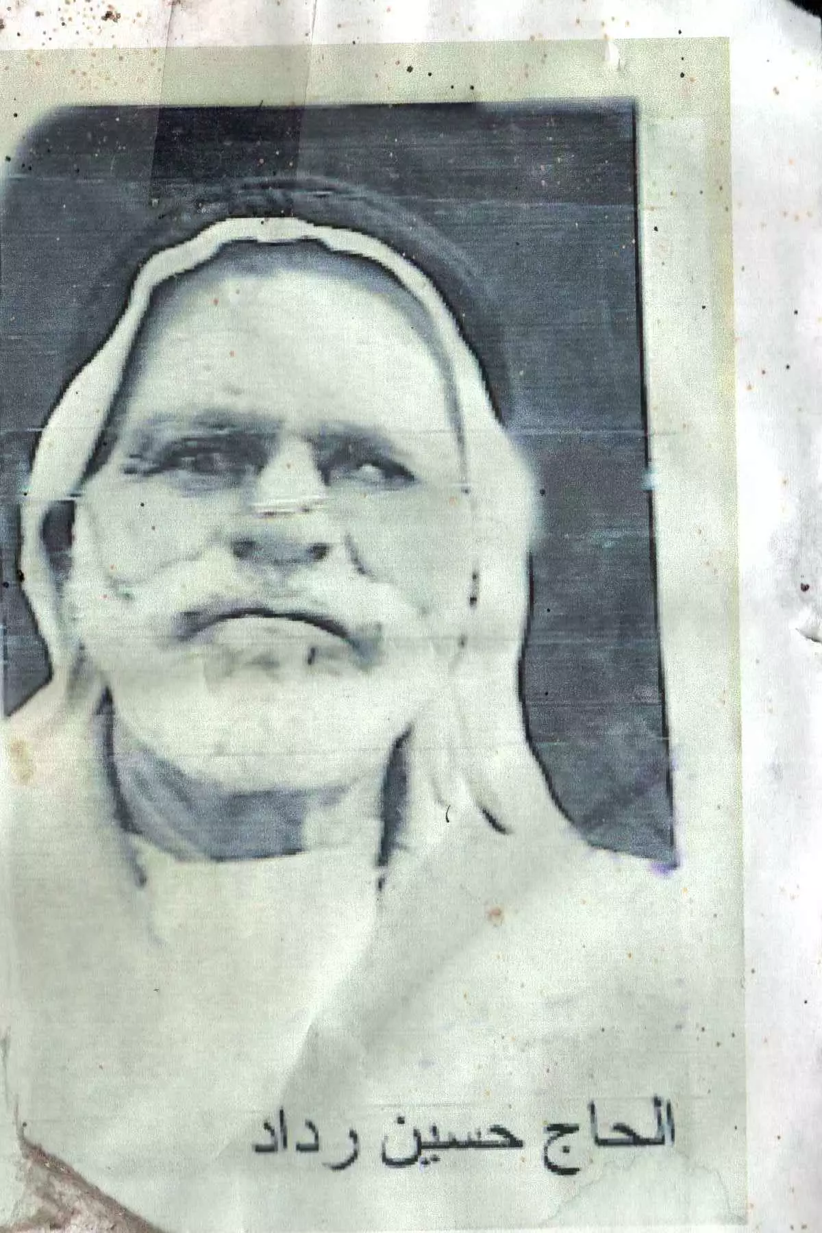
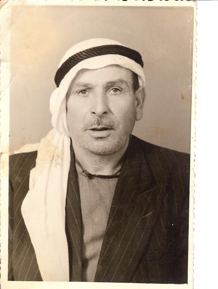
Posted by احمد 1 - الحاج حسين صالح رداد احد وجهاء الزاوية في فترة الانتداب البريطاني وايام الدولة العثمانية
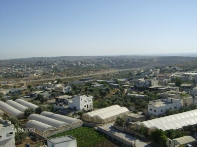
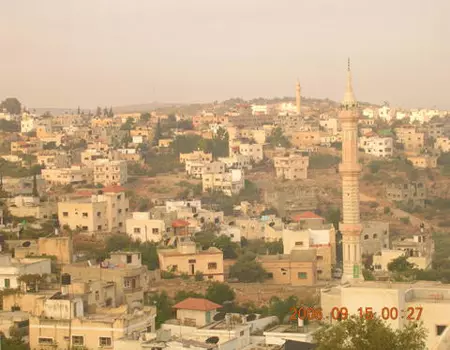
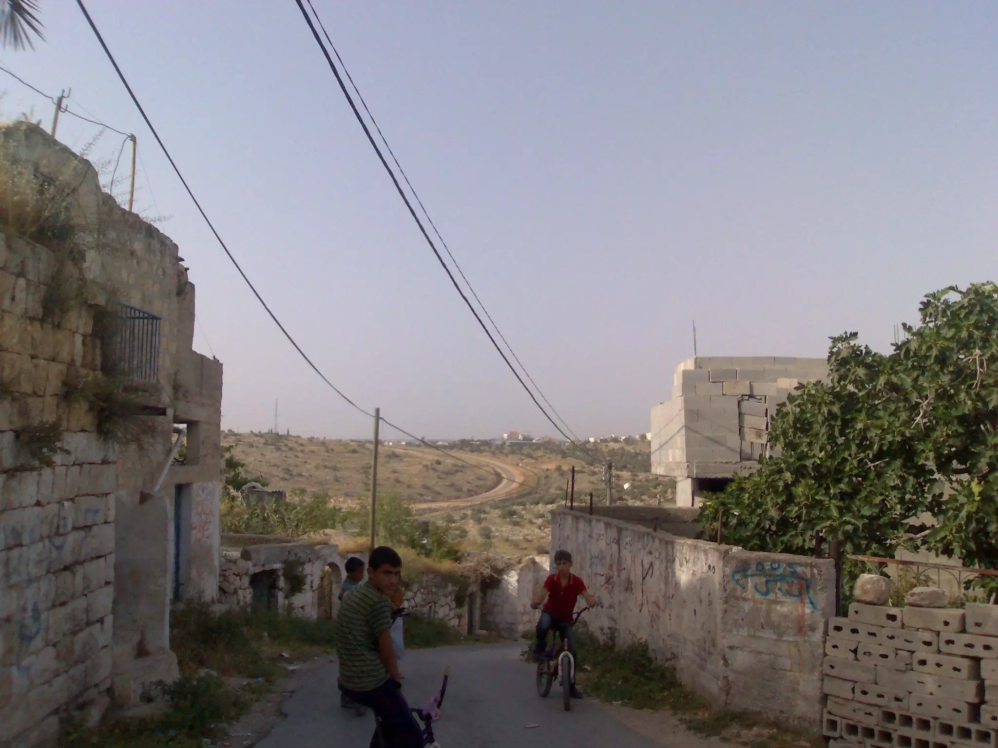
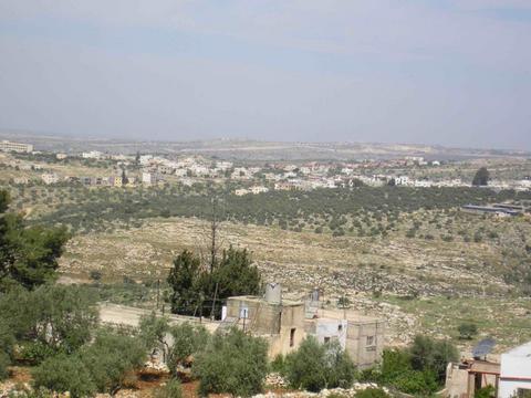
Posted by احمد 1 - بلدة الزاوية كما تظهر من قرية مسحة المجاورة والشارع الواضح بنهما هو الشارع المسمى عابر السامرة وهو يص ال تل ابيب غربا والى الغور غور الاردن ومعبر الكرامة شرقا
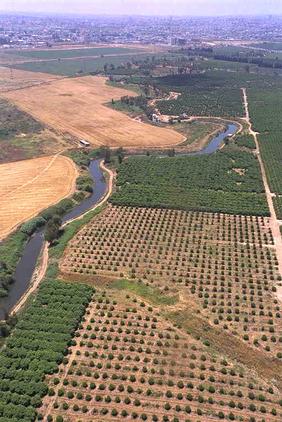
Posted by احمد 1 - صورة لنهر العوجا القريب ويقع الى الغرب من قرية الزاوية وهو من ضمن الاراضي المحتلة عام 1948
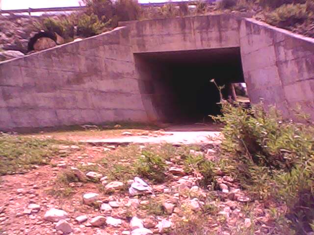
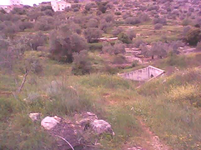
Posted by احمد 10 - الصبانة منطقة رومانية في خربة دير قسيس الموجودة داخل بلدة الزاوية
Posted by احمد - خربة سريسيا بلدة الزاوية خلف الجدار
Posted by احمد - أجمل الزهور في الزاوية

Posted by palestinian 1 - بلدة الزاوية
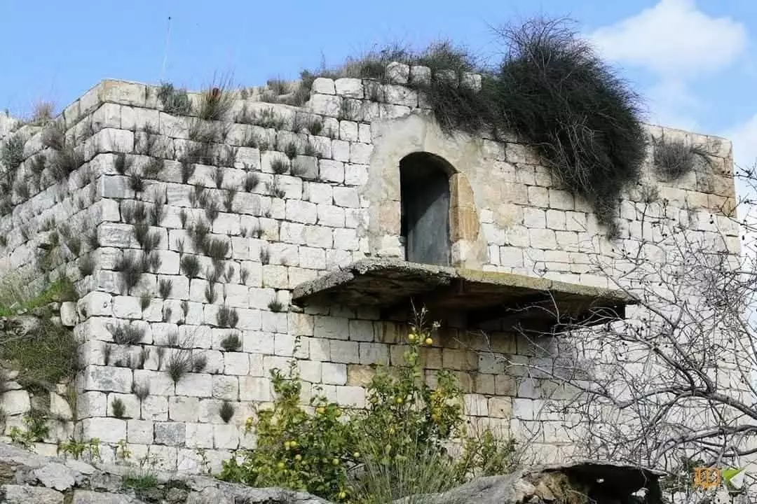
Posted by احمد - قلعة ال الريان الموجودة في بلدةالزاوية وهي تعود الى قرابة 200 سنة وهي ملك ابناء المرحوم ابراهيم ياسين رداد
Posted by احمد 2 - صورة تعود لشجرة خروب قديمة جدا تعود الى مئات السنين تدعى خروبة اسعد وتقع في الطريق بين بلدة الزاوية ورافات وتسمى المنطقة بواد اعمر
Posted by احمد 2 - بلدة الزاوية للناظر من الجهة الشرقية للناظر الى الغرب من منطقة ميون
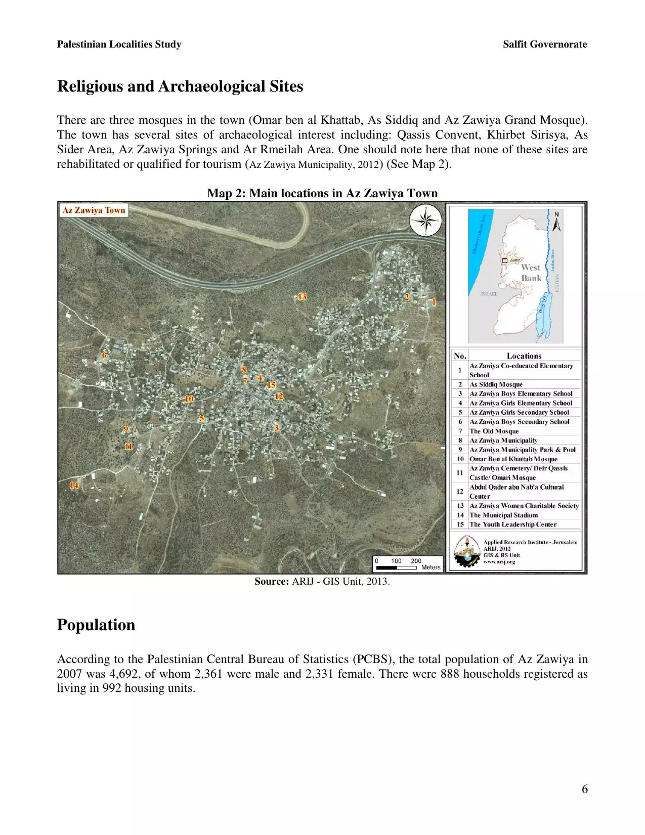
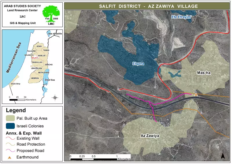
Posted by احمد 1 - خارطة تبينقرية الزاوية وطرق الاحتلال الهادفة الى مصادرة اراضي البلدة وكما تبين الخارطة مستوطنة القنا وشارع عابر السامرة الذي يربط تل ابيب بغور الاردن
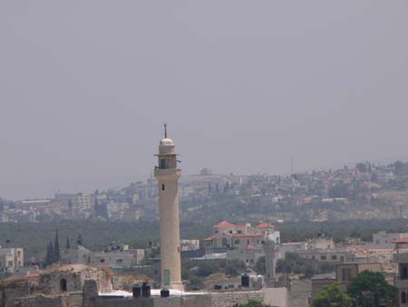
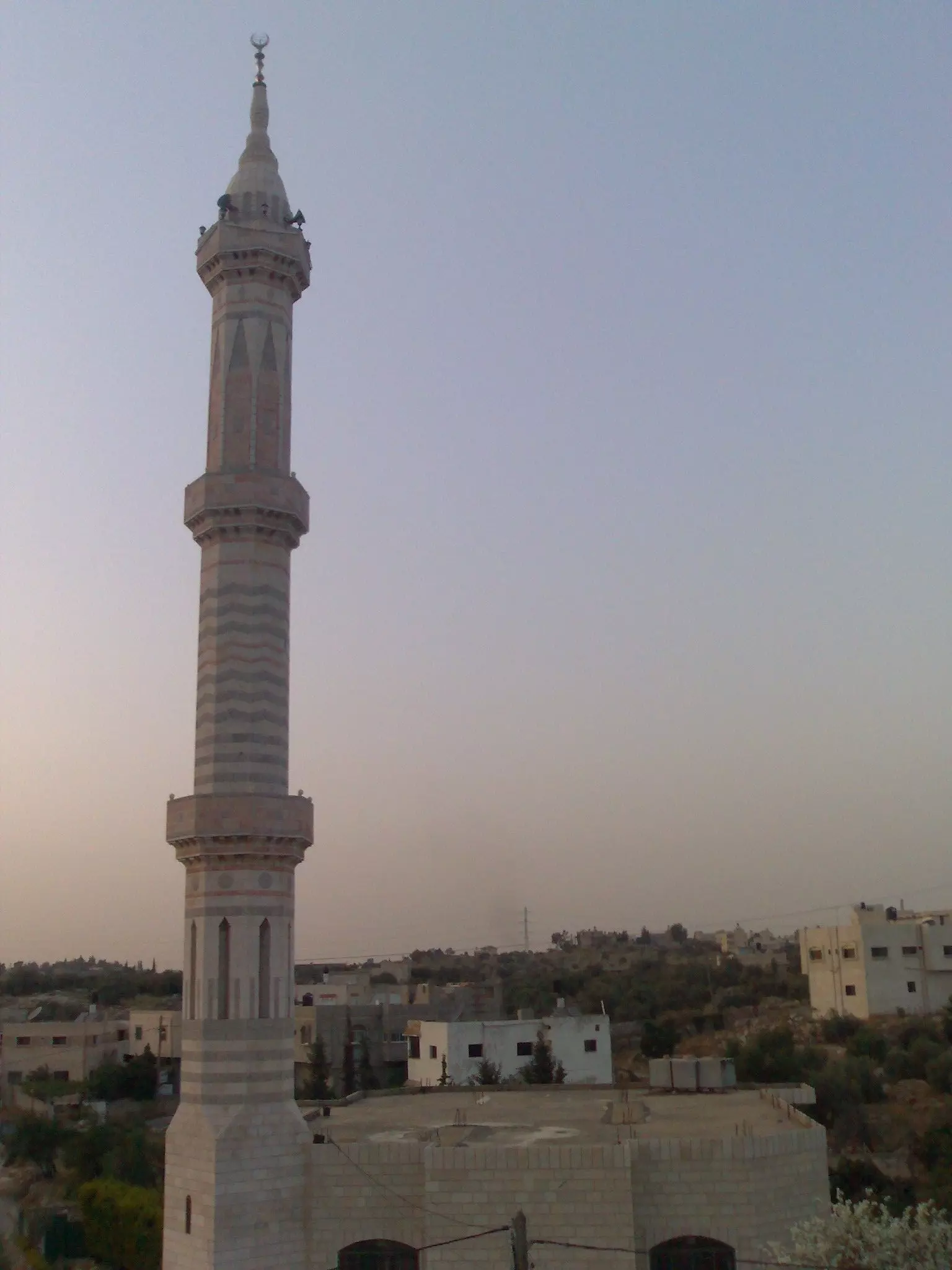
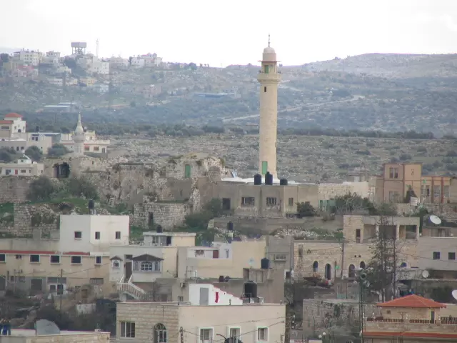
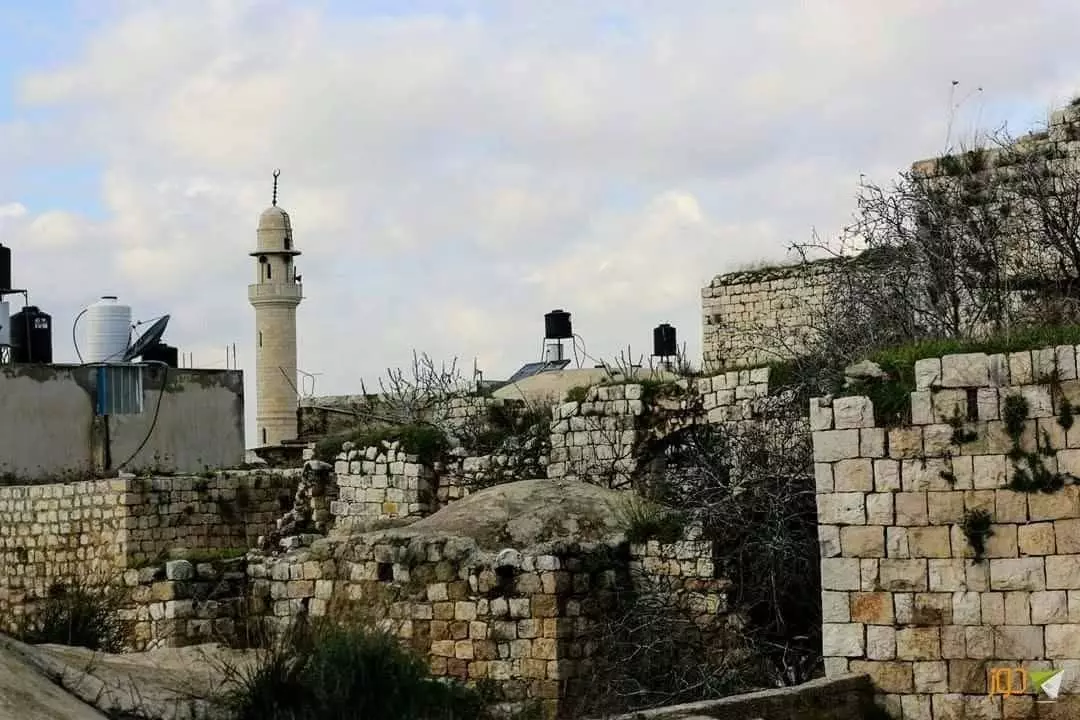
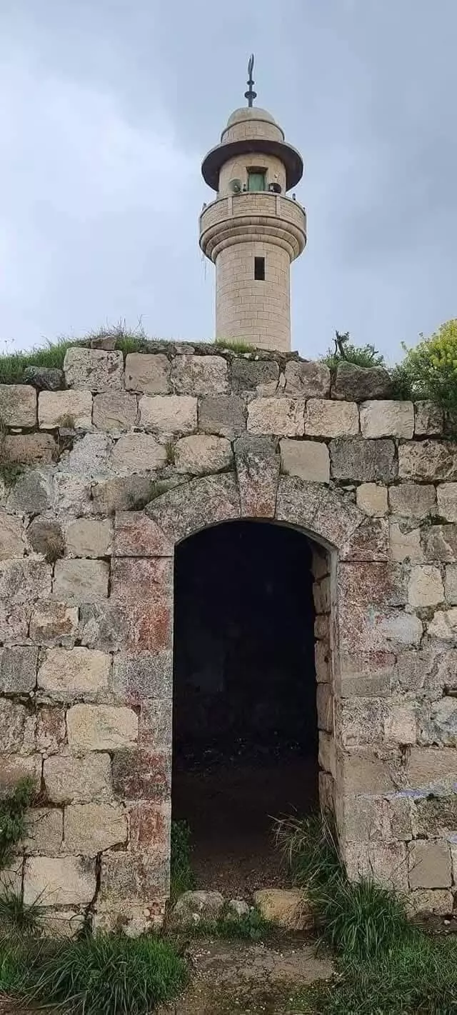
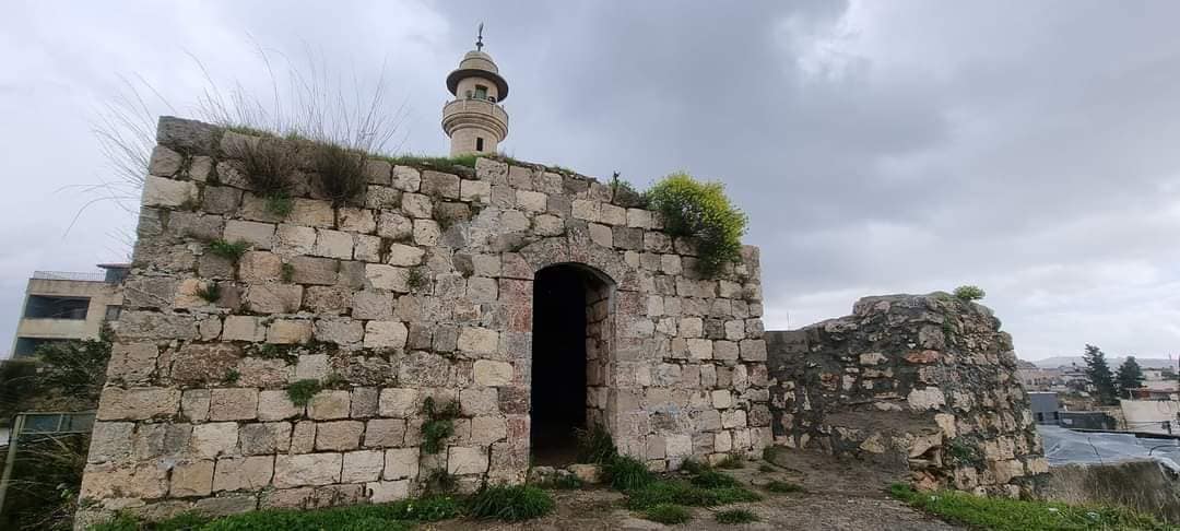
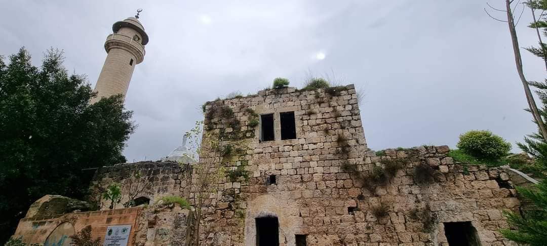
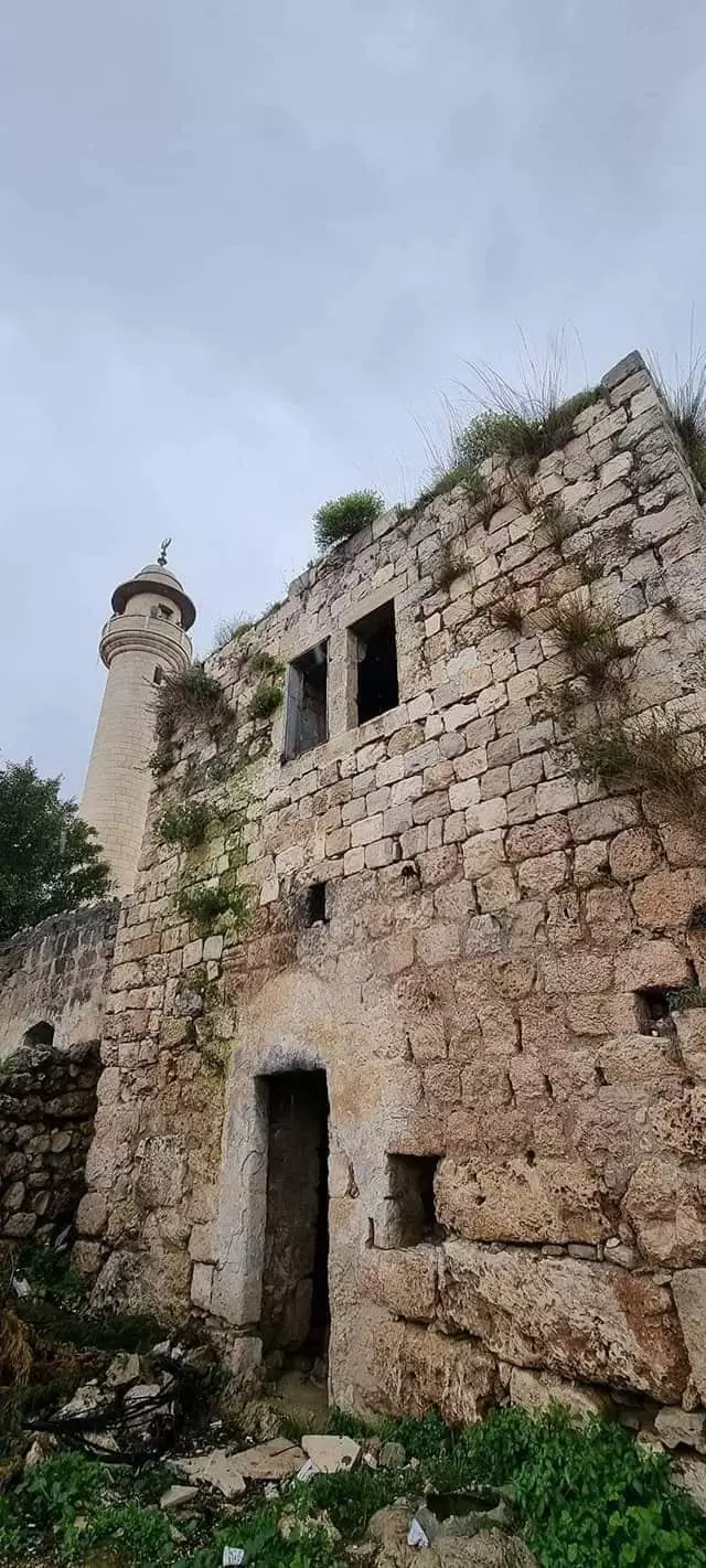
Posted by احمد - مئذنة مسجد الزاوية الكبير الموجود وسط البلدة
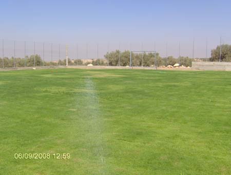
Posted by احمد - ملعب بلدية الزاوية لكرة القدم حيث يقع الى الغرب من البلدة بمنطقة الحورة
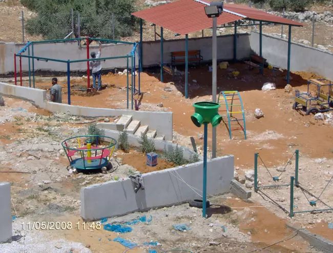
Posted by احمد - حديقة اسعاد الطفولة التابعة لبلدية الزاوية وهي بجانب بلدية الزاوية
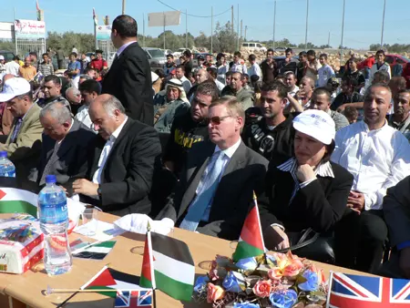
Posted by احمد - جانب من الاحتفال الذي اقيم على ارض بلدية الزاوية عن افتاح الملعب بحضور اللواء جبريل الرجوب
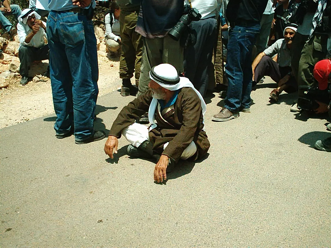
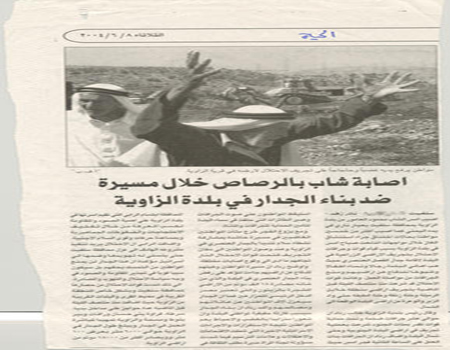
Posted by احمد - صورة لعجوزان فلسطينيان يقومان بالتصدي لجرافات الاحتلال التي كانت تقتلع الاشجار الزيتون المثرة اثناء اقامة الجدار العنصري واخذت الصورة من جريدة الحياة الجديدة والعجوزان هما الحاج عبد الرحمن حمودة شقير والحاج الاخر هو المرحوم احمد محمد شملاوي رداد
Posted by احمد - الحاج رضوان قاسم أبونبعة
Posted by ReVoLuTiOnIsT iMpRoR 10 - شارع عابر السامرة الذي يخترق ارض الزاوية وتظهر في الصورة كروم الزيتون المحيطة بالبلدة
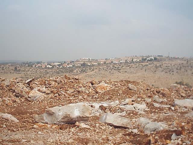
Posted by احمد - مستوطنة القنا المجاورة لبلدة الزاوية
Posted by احمد - بلدة الزاوية
Posted by احمد 2 - من بلدة الزاوية
Posted by احمد 3 - من بلدة الزاوية زاوية التحدي والصمود
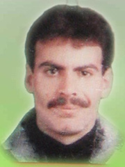
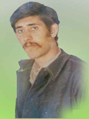
Posted by احمد - الشهيد اياد رداد
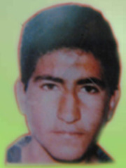
Posted by احمد 3 - الشهيد ناجي محمد
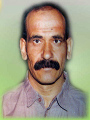
Posted by احمد - الشهيد البطل شقير سمارة
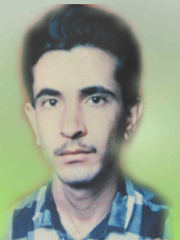
Posted by احمد 2 - الشهيد الفتى سامر نعيم موقدي
Posted by احمد 1 - الشهيد البطل محمد غالب
Posted by احمد 1 - قرنة الشيخ عيسى شمال بلدة الزاوية المحاذية لمستوطنة القناة
Posted by احمد 1 - صورة لبعض المستوطنين بالقرب من احراش مستوطنة راس العين داخل اسرائيل ارض الزاوية المحتلة عام 1948
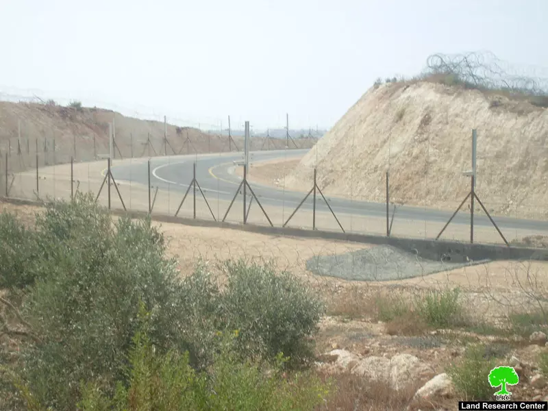
Posted by احمد - صورة لمقطع من الجدار العنصري المقام على اراض بلدة الزاوية وهي منطقة سريسيا
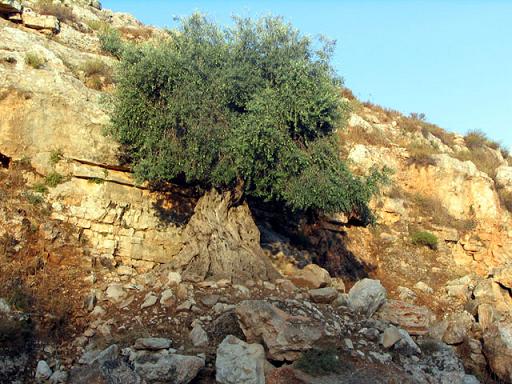
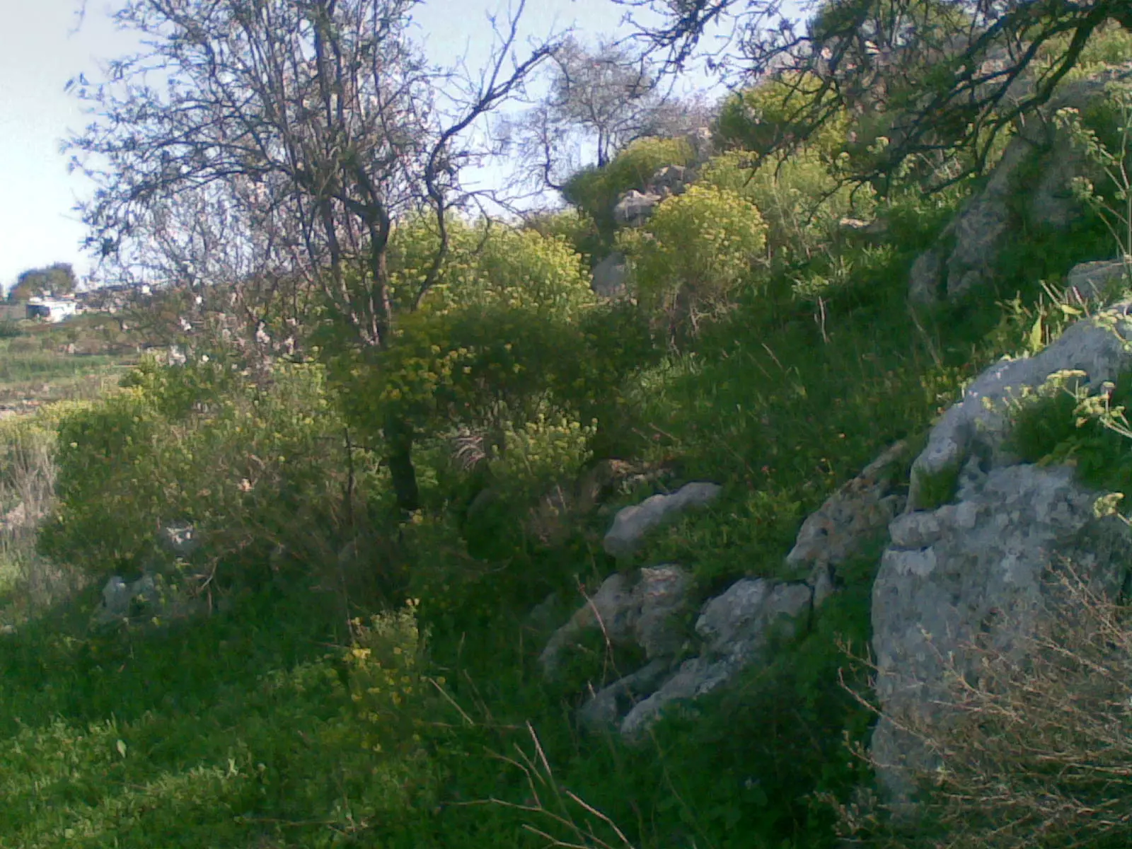
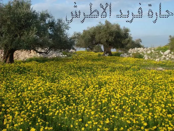
Posted by احمد - صورة لاجمل الزهور في فصل الربيع لعام 2010 م بلدة الزاوية ويظهر الزيتون الرومي الذي يدل على عروبة وعلى جذور الشعب الفلسطيني الراسخة رسوخ الجبال في هذة الارض
Posted by احمد - منطقة في بلدة الزاوية تظهر منهاالجبل الارزق التابع لعرب الجرامنة
Posted by احمد 1 - من ميون قرب المسجد
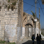
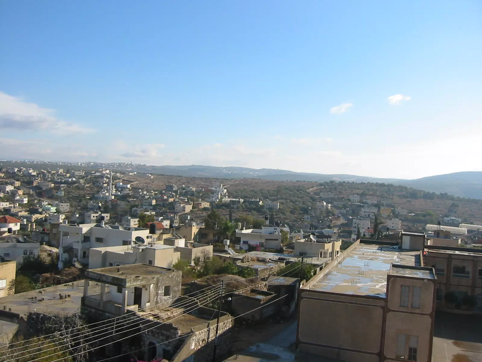
Posted by همام عبدالحافظ احمد عوض الله - البلد القديمة
Posted by همام عبدالحافظ احمد عوض الله 2 - المسجد الشرقي كما يظهر من منزل ناجح رداد
Posted by همام عبدالحافظ احمد عوض الله - جانب من بلدة الزاويه تظهر الجهة الجنوبيه
Posted by احمد - منطقة المريج
Posted by احمد - امن بلدة الزاويه
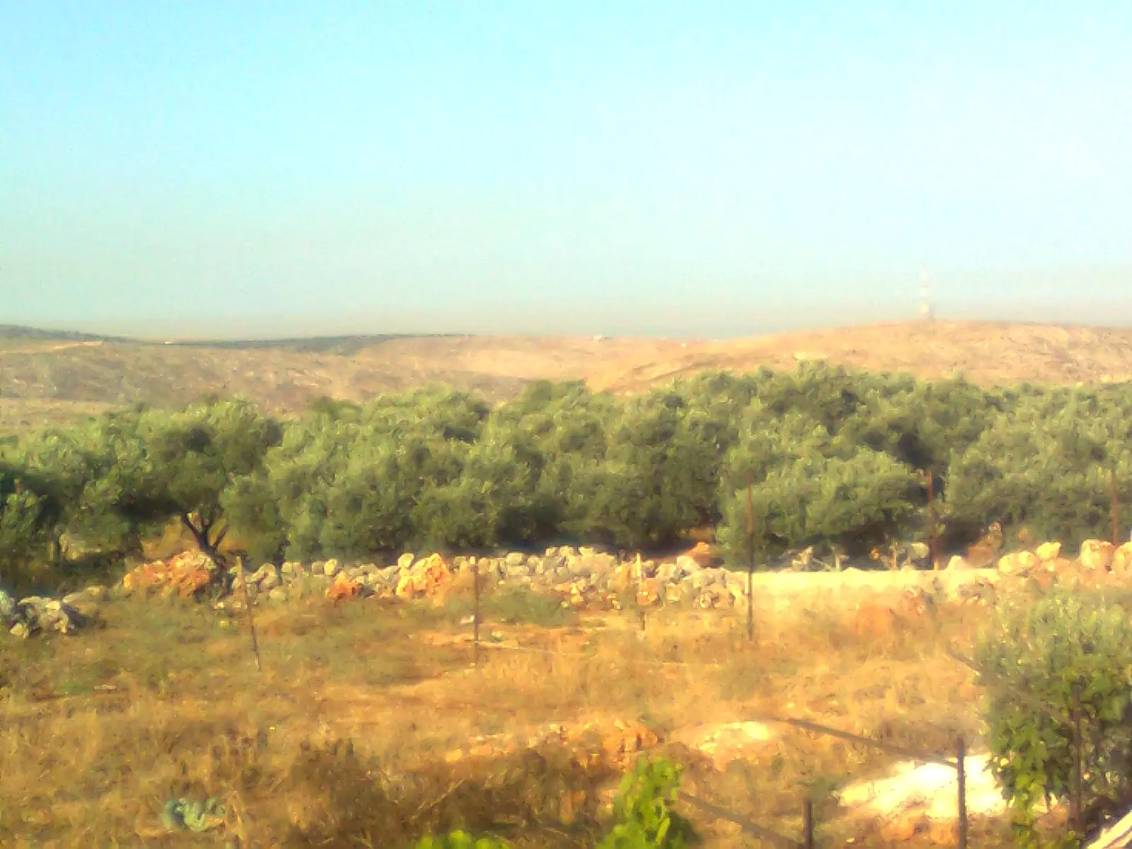
Posted by احمد - من حقول الزيتون ببلدة الزاويه
Posted by احمد - من جدورنا بالارض
Posted by احمد - الزيتون الاصيل
Posted by احمد - بدون تعليق
Posted by احمد - بدون تعليق
Posted by احمد - خربه سريسيا خلف الجدار
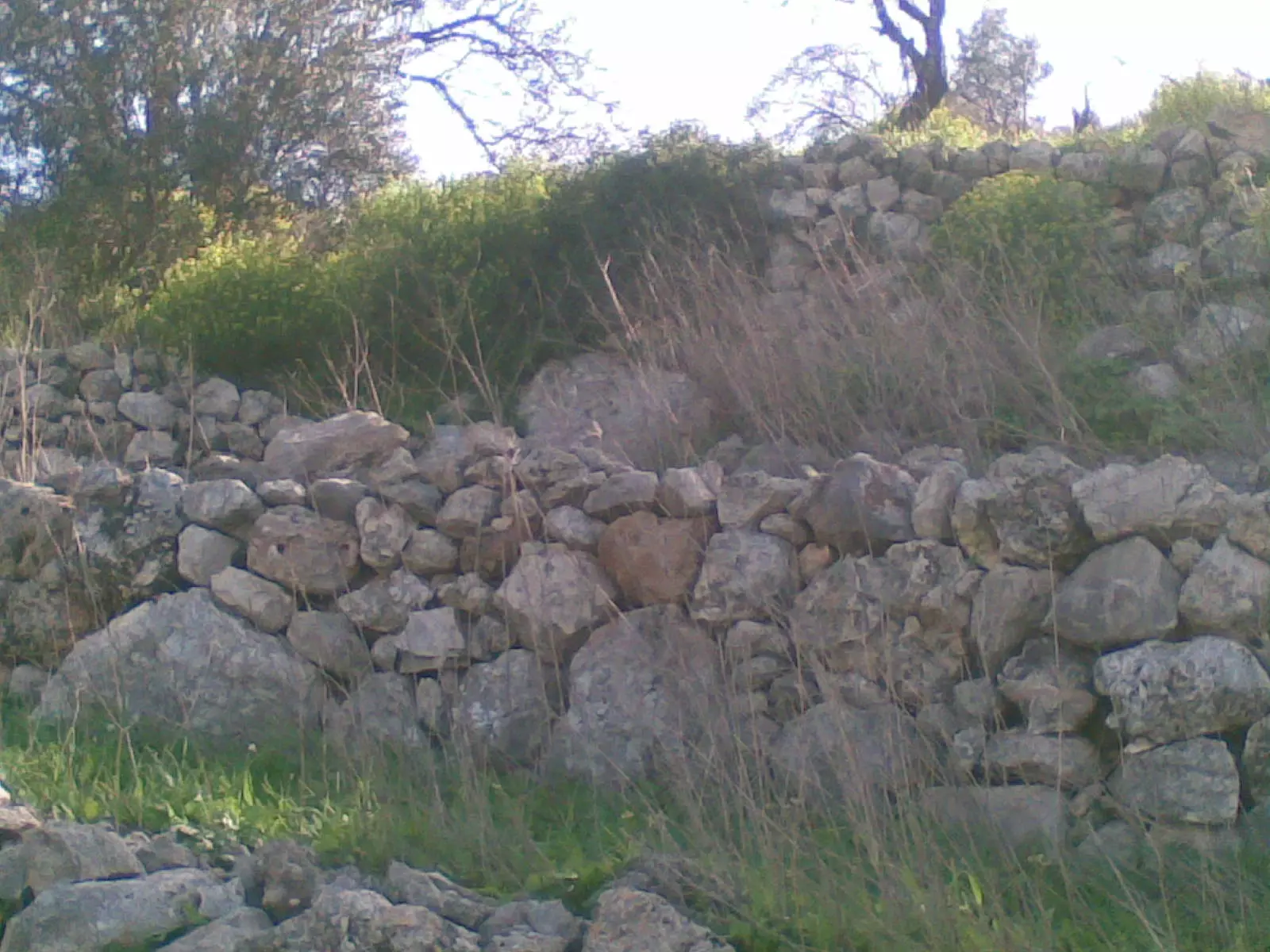
Posted by احمد - ارض عارف صالح رداد خربه سريسيا خلف الجدار
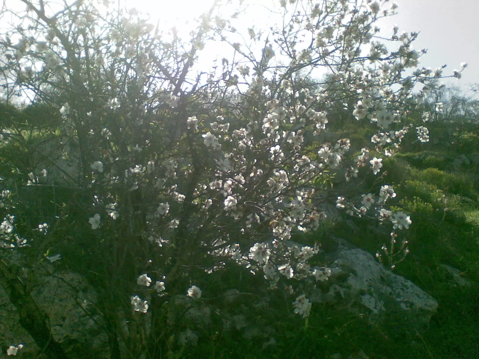
Posted by احمد - اللوز عندما يزهرسريسيا عام 2011
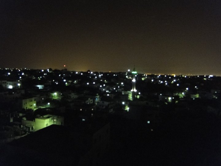
Posted by احمد - الزاويه
Posted by احمد - الزاويه
Posted by احمد - الزاويه
Posted by احمد - الزاويه
Posted by احمد - الزاويه
Posted by احمد - الزاويه كما تظهر من قريه رافات
Posted by احمد - بقايا شجره زيتون من اثار الجدار
Posted by احمد - مستوطنة القناه القريبه من الزاويه
Posted by احمد - الزاويه
Posted by احمد - الزاويه
Posted by احمد - الزاويه
Posted by احمد - بلدة الزاويه الاحيه الشماليه
Posted by احمد - الزاويه
Posted by احمد - الزاويه
Posted by احمد - الزاويه
Posted by احمد - الزاويه
Posted by احمد - الزاويه الواد الشامي
Posted by احمد - الزاويه
Posted by احمد - المنطقة القريبه من الجدار
Posted by احمد - منطقة العبارات شمال البلدة
Posted by احمد - طريق دار حسن الخالد واد اسبيتان
Posted by احمد - طريق الواد الزاويه
Posted by احمد - الزاويه عراق واصاله
Posted by احمد - الزاويه
Posted by احمد - بلدة الزاويه
Posted by احمد - الزاويه
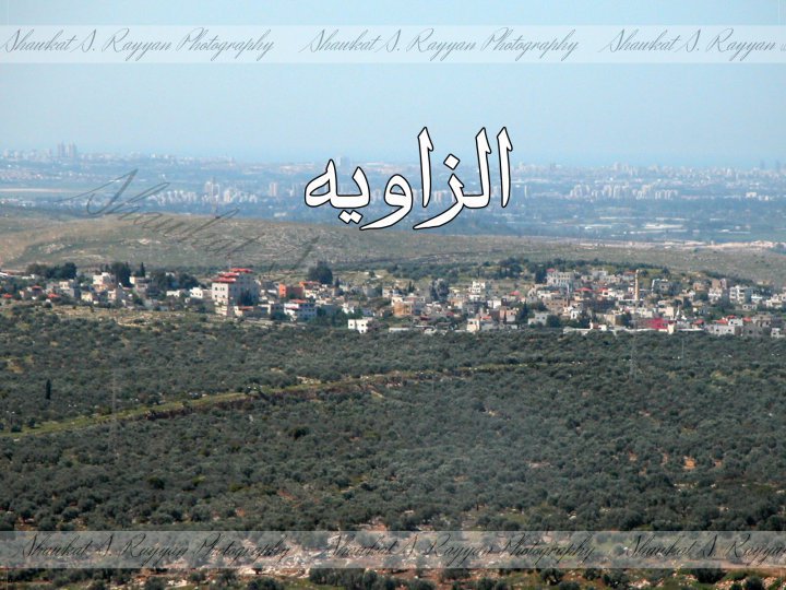
Posted by احمد - الزاويه كما تظهر من الجبال الشرقيه وتظهر بالصورة البعيدة تل ابيب ومدينة يافا وتظهر بالصوره الابراج بقلب تل ابيب
Posted by احمد - الزاويه
Posted by احمد - الزاويه
Posted by احمد - منظر الزاوية من الشيخ صبح
Posted by Ghanem Mustafa - أسرى الزويه
Posted by khaild samara - اسرى الزاويه 2 ابو الناجي وعبد اللطيف شقير

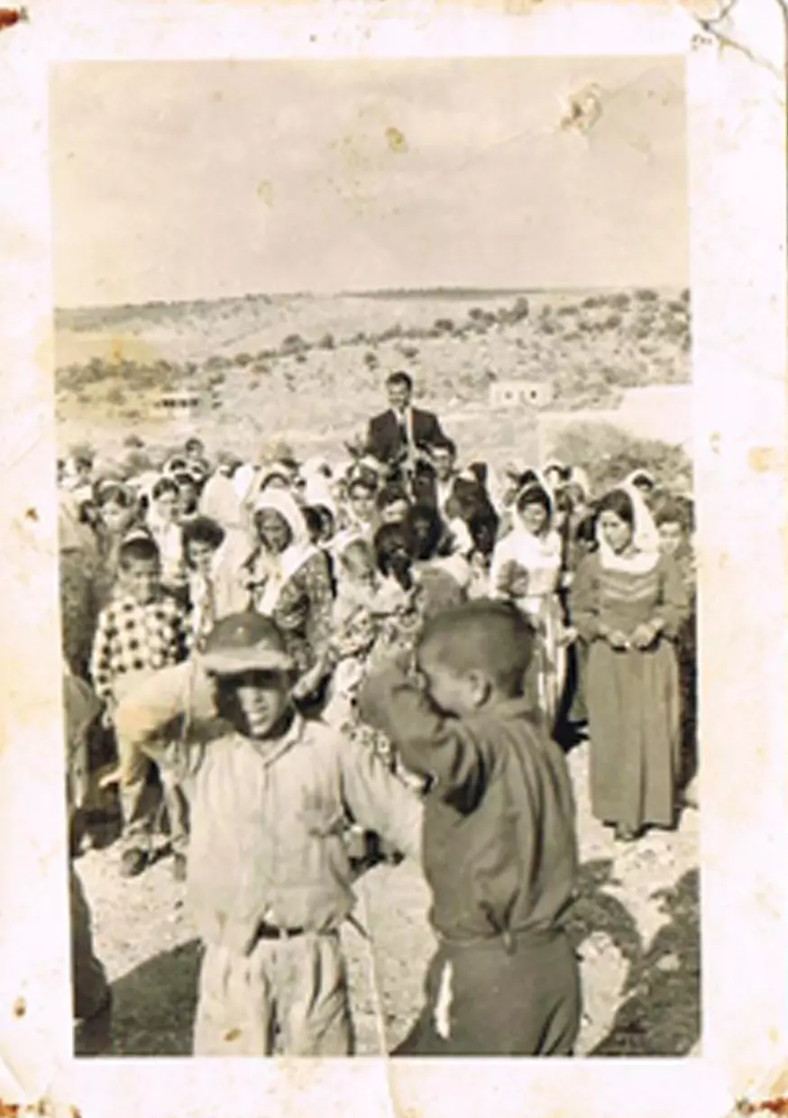
Posted by khaild samara - صورة لعرس ريان ابو بيح عام 1965 في منطقة خلة الشرقية والطفلين في المقدمة موسى عبيد وسالم قادوس
Posted by ابوريان 1 - عرس ريان ابو بيح في عام 1965 وتظهر في الخلف دار معروف يوسف ودار صالح ابو زر
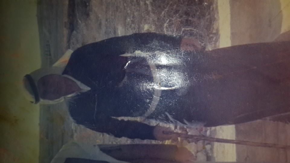
Posted by ابوريان - جدي ابراهيم عثمان يوسف(قادوس) أحمد حسين عمر سليمان رداد
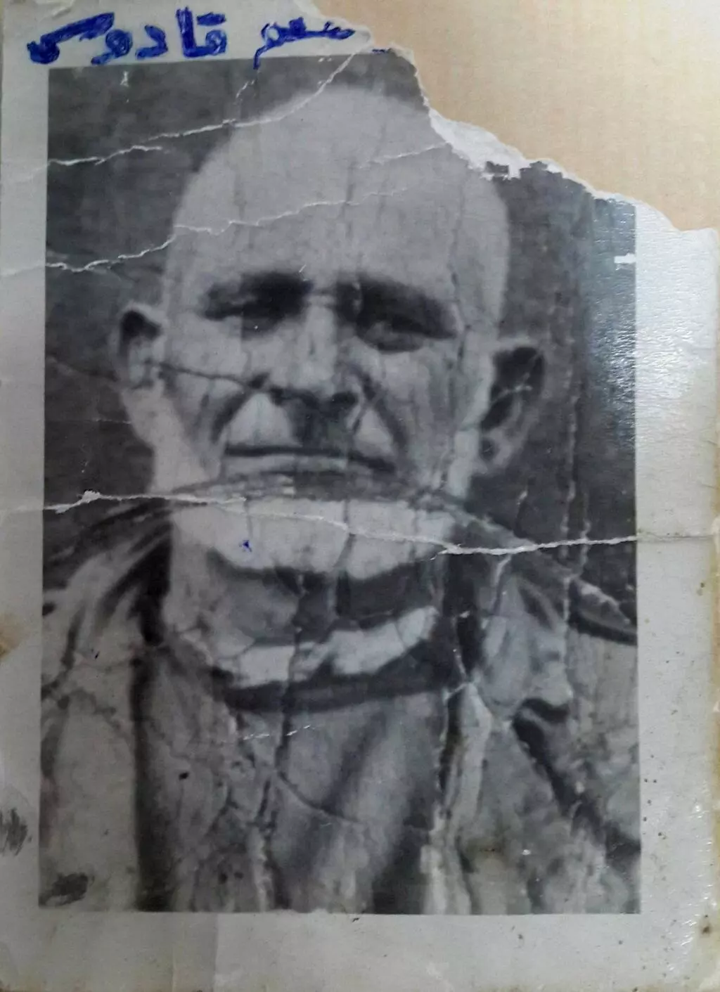
Posted by عماد سلامة ابراهيم عثمان يوسف(قادوس) رداد 3 - جدي عثمان العبد عثمان يوسف(قادوس) أحمد حسين عمر سليمان رداد
Posted by عماد سلامة ابراهيم عثمان يوسف(قادوس) رداد 1 - منظر عام

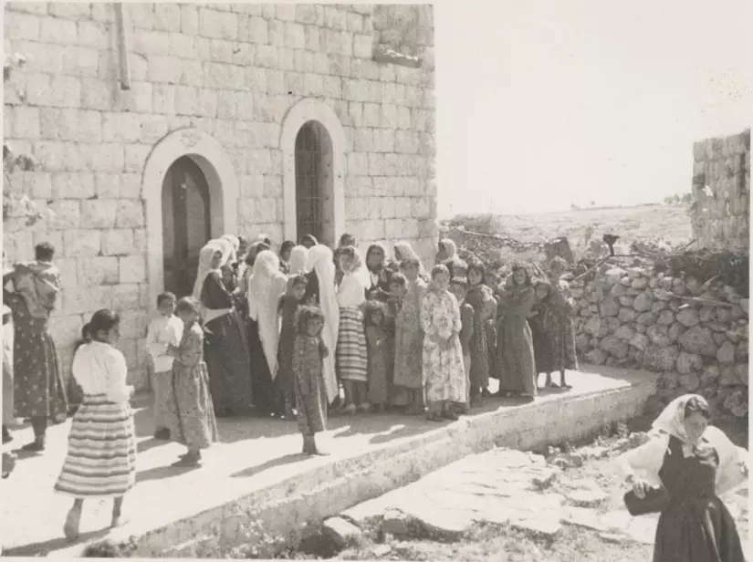
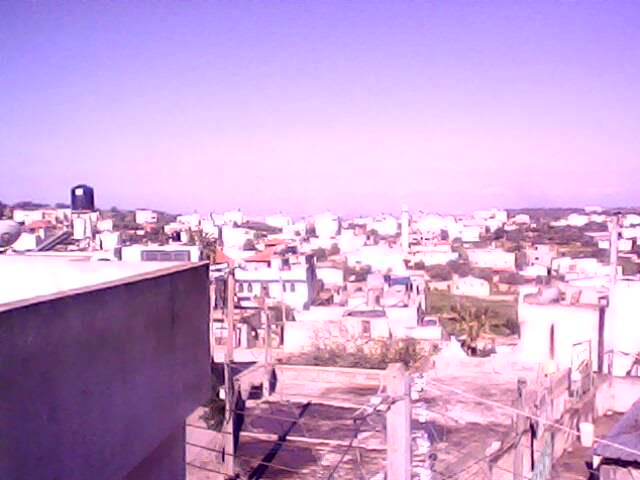
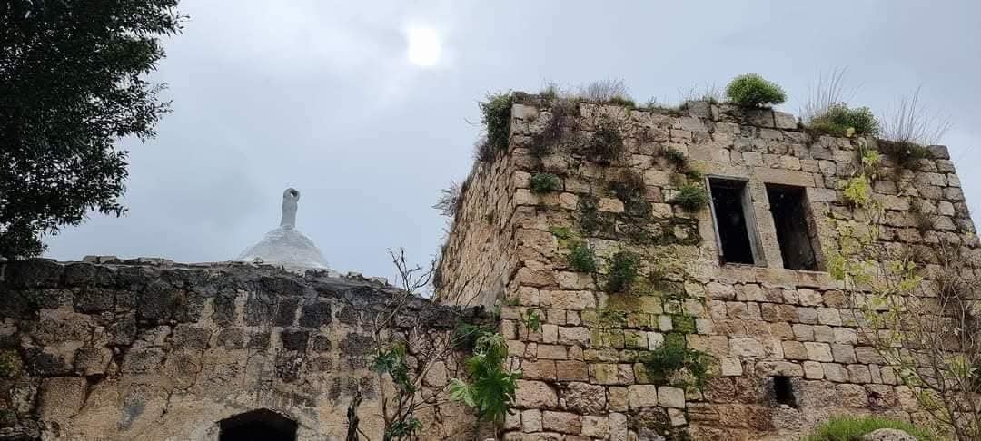
- منظر عام
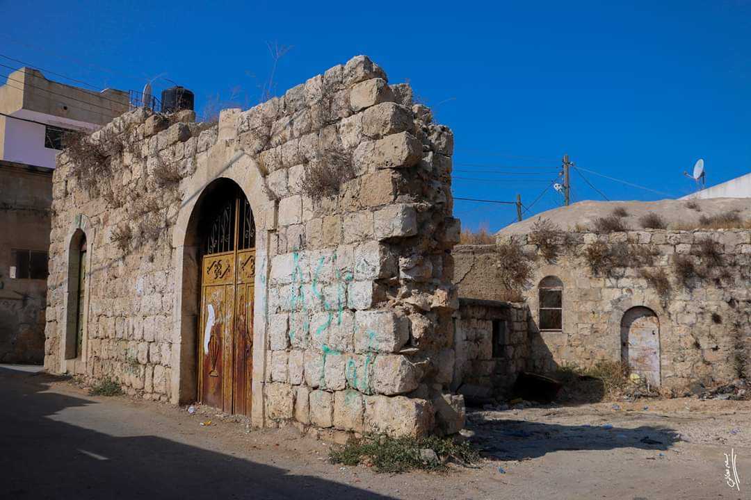
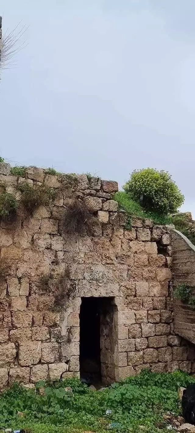
- جولة بين بيوت القرية القديمة

- جولة بين بيوت القرية القديمة #2
- جولة بين بيوت القرية القديمة #3
- جولة بين بيوت القرية القديمة #4
- جولة بين بيوت القرية القديمة #5
- جولة بين بيوت القرية القديمه
- جولة بين بيوت القرية القديمه #2

- جولة بين بيوت القرية القديمه #3
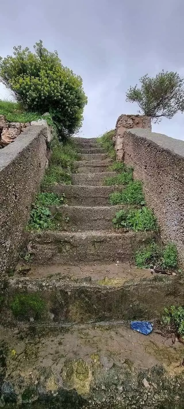
- جولة بين بيوت القرية القديمه #4

- جولة بين بيوت القرية القديمه #5
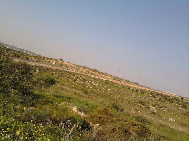
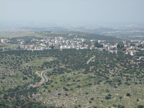
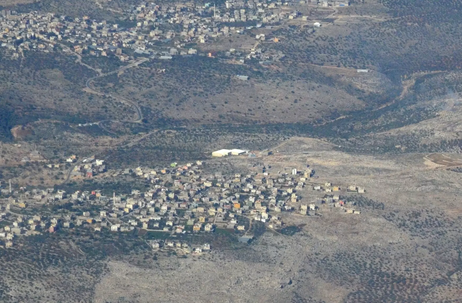
- The closest village is Rafat. Behind it is Zawiya. Taken from the south..نظرة من الجو أخذت من الجنوب..والقرية الأقرب هي رافات والأبعد هي زاوية
- جولة بين بيوت البلدة القديمة
- جولة بين بيوت البلدة القديمة #2

- جولة بين بيوت البلدة القديمة #3
- جولة بين بيوت البلدة القديمة #4
- جولة بين بيوت البلدة القديمة #5
- جولة بين بيوت البلدة القديمة #6
- جولة بين بيوت البلدة القديمة #7

- جولة بين بيوت البلدة القديمة #8
- جولة بين بيوت البلدة القديمة #9

Want to browse more? 80,000 pictures were grouped in these gallaries:
| Display Name | Clan/Hamolah | Country of Residence |
| عماد سلامة ابراهيم عثمان يوسف(قادوس) رداد | ال رداد طناش الحسيني | - |
| عزمي | شقير | الزاوية, الزاوية |
| sameer | موقدي | الرياض - السعودية |
| نجاح السلخي | موقدي | الرياض |
| امجد صالح موسى شقير | شقير | الجبل الابيض, المملكه العربيه السعودية |
| فرح | رداد | سلفيت, الزاويه |
| palestinian | - | - |
| انس قادوس | رداد | - |
| سامر | - | - |
| محمد رداد | - | - |
| Yousri Shamlawi | رداد | الأردن, الأردن |
| Bilal AbuQadous | - | Eastern, Saudi arabia |
| حسين رداد | رداد | الزاوية |
| AnOs | - | الزاوية |
| abu3mmar | - | - |
| ReVoLuTiOnIsT iMpRoR | al 3asforey | middle camps, palestine |
- بلدة الزاوية - فلسطين - حلوة يا دنيا Duration: 15 min 15 sec
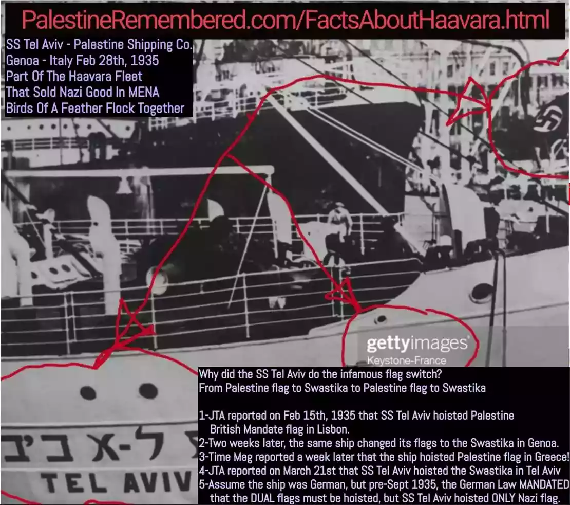 Fake Valor: Why Did Zionist Jews Hoist Nazis Flag on Their Ships in the 1930s?
What is new?
-
Facts About Oct. 7th Gaza Raid
-
Remined Us Please:: Who Did Rape Who? Palestinians Raped Israelis? Or, was the other way around?
-
When Prof. Edward Said was invited to debate Bibi Netanyahu in the 1980s, watch what happened!
-
Ezra Klein of the NY Times on the "Jewish Race".
-
Abusing Blood Libel!
-
Did Israeli Soldiers Activate The Hanniba Direective On Oct. 7th? You Be The Judge
-
Zionist FAQ: Isn't it true that Palestinians don't want peace? Palestinians never accepted the two-state solution
- Facts about Haavara (Transfer) Agreement between Ben-Gurion & Hitler
-
Haavara FAQs: Why Did Zionist Jews Hoist Nazis' Flags on Their Ships in the 1930s?
- Haavara FAQs: When Chaim Weizmann met FDR in mid-1943, why was he silent about rescuing European Jewry?
-
Dear ChatGPT: How did Palestinians resist Napoleon's invasion of their country in 1799?
-
Dear ChatGPT: Gaza had a vibrant Jewish community in the mid-17th century. What happened to them?
-
Dear ChatGPT: Why did the Jewish Agency suppress news of the Holocaust during WWII?
-
Video Playlist: Jews share their DNA tests to end the conflict for good.
-
A Tale of Two Conflicts: Examining the Definition of Genocide
-
Prof. Abraham Polak And The Suppressed History of the Khazars and European Jewry
-
How Ronald Reagan would have framed the genocide in Gaza if he were still alive?
-
Haavara FAQs: Let us do the math: how many German Jews did The Haavara Agreement save?
-
Zionist FAQs: The Hebron Massacre of 1929, "clearly proves" that Palestinians are antisemitic, how could you deny it?
-
Zionist FAQs: Why Anti-Zionist Is Not Antisemitism?
-
Zionist FAQs: Isn't it true that the KGB created Palestinian Nationalism in the early 1960s?
- Zionist FAQs: Muslims are killing Muslims all the time; why are Israeli Jews being singled out in the media?
- Zionist FAQs: How is Israel an apartheid state when 20% of its citizens are Arabs who enjoy full rights?
-
Haavara FAQs: Why Did Dorothy Thompson Flip From A Zionist Advocate to A Silenced Dissenter?
-
Haavara FAQs: Analysis of Herzl's Uganda Scheme and how it could have saved millions of Jews.
-
Haavara FAQs: Why did Hayim Greenberg describe American Jewry as "morally bankrupt" in early 1943?
-
Haavara FAQs: What if the Evian Conference was a resounding success? What would have been the impact of saving European Jewry on Zionism?
- Haavara FAQs: What if the six million were saved, how that would have impacted the Zionist project?
-
Haavara FAQs: How did Zionist leaders react when Europe's Jews lingered in the DP camps after WWII ended?
-
Why does the American Jewish community repeat lies that David Ben-Gurion had debunked before he died?
-
Who has the power to rename the Tatar/Khazar Gene Marker to Jewish IV?
-
Zionist FAQs: Why won't Egypt, Syria, and Jordan take their people back? Jews are indigenous to Palestine, and Arabs immigrated after Jews developed the country. Arabs should leave.
-
Haavara FAQs: Did Hitler and the Nazis conflate between Judaism and Zionist? If that wasn't case, then why?
-
Haavara FAQs: Winston Churchill and antisemitism, a collection of articles written Churchill.
-
Haavara FAQs: Broken by country, how many Jews survived vs. killed during the Holocaust?
-
Haavara FAQs: Why did European Jews vote with their feet and to immigrated to the Americas, not Palestine, after WWII?
-
Watch this American Jewish Girl describing Israeli Jews' cognitive dissonance like no other in under two minutes
-
Haavara FAQs: When the Nazis went out of their way to hide the Holocaust, Israeli Jews did the exact opposite by broadcasting their genocide of Gazans. But why?
-
Haavara FAQs: How Zionist Jews went out of their to show their appreciation to Nazism and Fascism?
- Haavara FAQs: Why Zionist leaders were against bombing the death camps & the Railroads leading to them?
-
Haavara FAQs: Hitler's message to the British and American people: If Jews are such noble citizens and you care about them, how come you're not letting them in? I will gladly ship them to you at my expense, even on luxury liners!
-
A shortlist of Zionist and Israeli false flag operations in the name Jews.
-
The Most Moral Army
- The Land of Kapos (Israel): Where the brave are boycotted and Kapos walk free.
- Why did early Zionists often named their communal enterprises "colonial"?
- Zionist Relations with Nazi Germany by Faris Glubb
-
Two NY Times advertisements by Zionists in the early 1943 that exposes Zionists' treason at the height of the calamity
- Facts Not Lies about the Palestinian-Israeli Conflict.
- Site's pictures have been categorized
- Campgain Against Lice
- A Survey of Palestine, the official source about Palestine before Nakba produced by the British Mandate; over 1200 pages.
- Satellite View & Google Earth: Over 6,000 placemarks identifying all destroyed towns, W. Bank & Gaza Strip Towns, & refugee camps.
- PalestineRemembered.com and its Nakba Oral History Project were featured on al-Jazeera Satellite TV.
- Nakba Oral History Video Podcast:
 Over 700 Oral History interviews (including 3,500+ hours of recording) can be viewed online.
 - Palestine Village Statistics Project
- Gaza Jail Break
- النسخة العربية للموقع الان متوفرة
- Videos: Documenting the destroyed villages in video: Tracing all that remains since Nakba.
- Videos: Responding to Zionist Propaganda
- Interview: The ethnic cleansing of Palestine: George Galloway interviews Israeli Historian Ilan Pappe.
- For Palestinians, memory matters. It provides a blueprint for their future By George Bisharat.
- Zionist FAQ now available in Hebrew שאלות שציונים שואלים, עכשיו בעברית
- Video: The Stephen Walt and John Mearsheimer report on the influence of the Israel Lobby on U.S. Foreign Policy
- The Palestinian-Israeli conflict for beginners